The shortest distance between two points is a straight line! Molly and I started at the map marker in the lower right of this image … ended up in Canada for a short time while we worked out way into Magnetic Lake and beyond on the border lakes. Thankfully an international incident was avoided!
As an aside … while I would not use Google Maps for navigating canoe country, having downloaded maps for offline use comes in handy. While satellite view is not an option for offline use, I have learned that if I view in “satellite mode” while online, it caches that view as well for offline use … thus my screenshot images.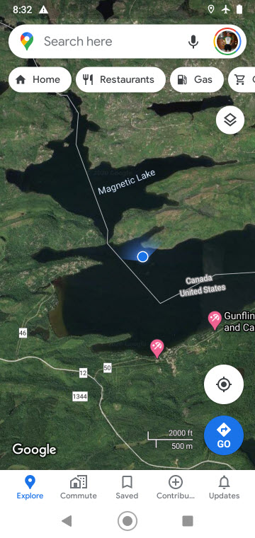
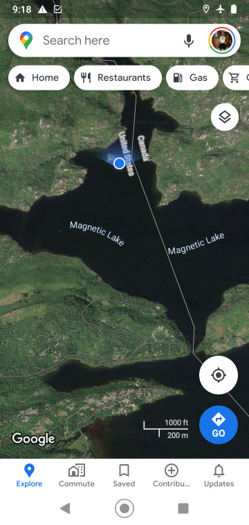

Photo ops are not real good right now due to the West Coast smoke that has worked its way to Minnesota’s skies. God Bless those poor folks near fires, and pray for the fire fighters. This screenshot of the smoke plume taken this morning at 9 am is remarkable in a not so great way.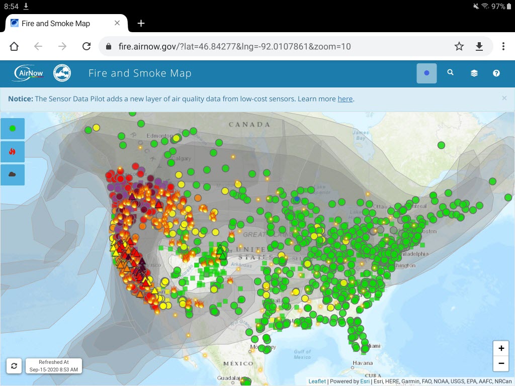
Discover more from 365 Days of Birds
Subscribe to get the latest posts sent to your email.
I just checked the email that was sent out for this post. The galleries look fantastic if viewing directly, but are just code in the email. Not surprising I guess as the galleries are dynamic content (in a software sense)