For the last few days I have been hanging out in Grand Marais and the Gunflint Trail region. This reminded me I have been wanting to blog about Google Maps offline usage. Even if you live in a large metropolitan area, Google Maps Offline will help you:
- Connectivity is never perfect. Google Maps Offline insures your directions work even if you lose your connection.
- Given your phones’ GPS chip works w/o connectivity, pre-downloaded maps means never getting lost
- Having downloaded map regions via wifi, you save on your data contracts
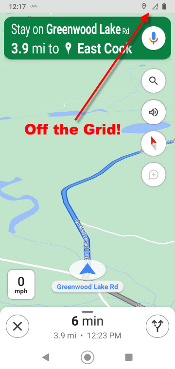
- In northeastern Minnesota next to the Canadian border, having a data connection is a pipe dream
Here are some screenshots from my phone while exploring the wilds on the Northland this weekend.
.1. Looking at Google Maps on my phone. Tap upon my icon to pull down the menu.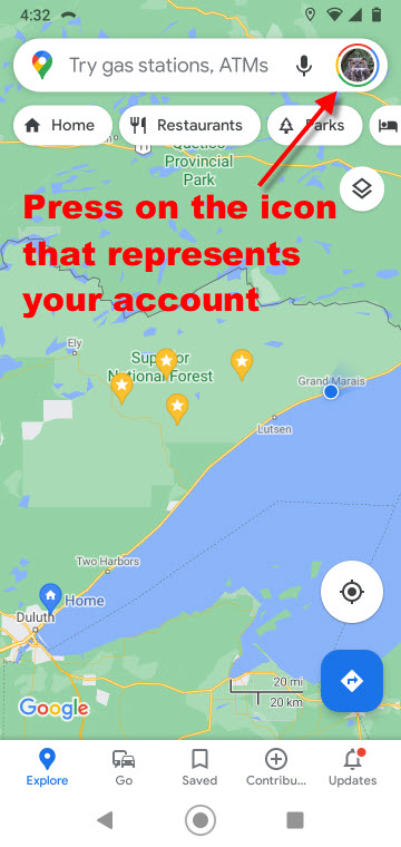
.2. This menu appears, and I want to select “offline maps”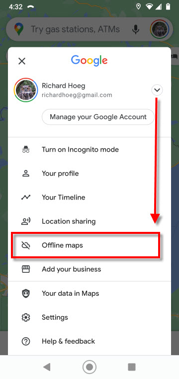
.3. I already have some maps downloaded, which Google updates when required. In addition, I may download and name an area specifically desired by me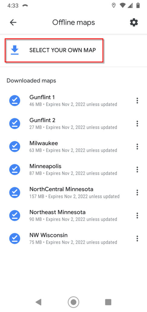
.4. Given I pressed “select you own map”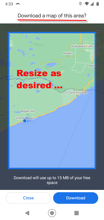
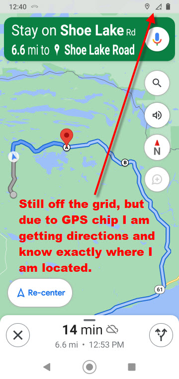
These two screenshots were taken while I was in navigation mode. I may zoom in and out as desired. Even without a connection, Google talks out loud and tells me when to make a turn.
Now for some photography …
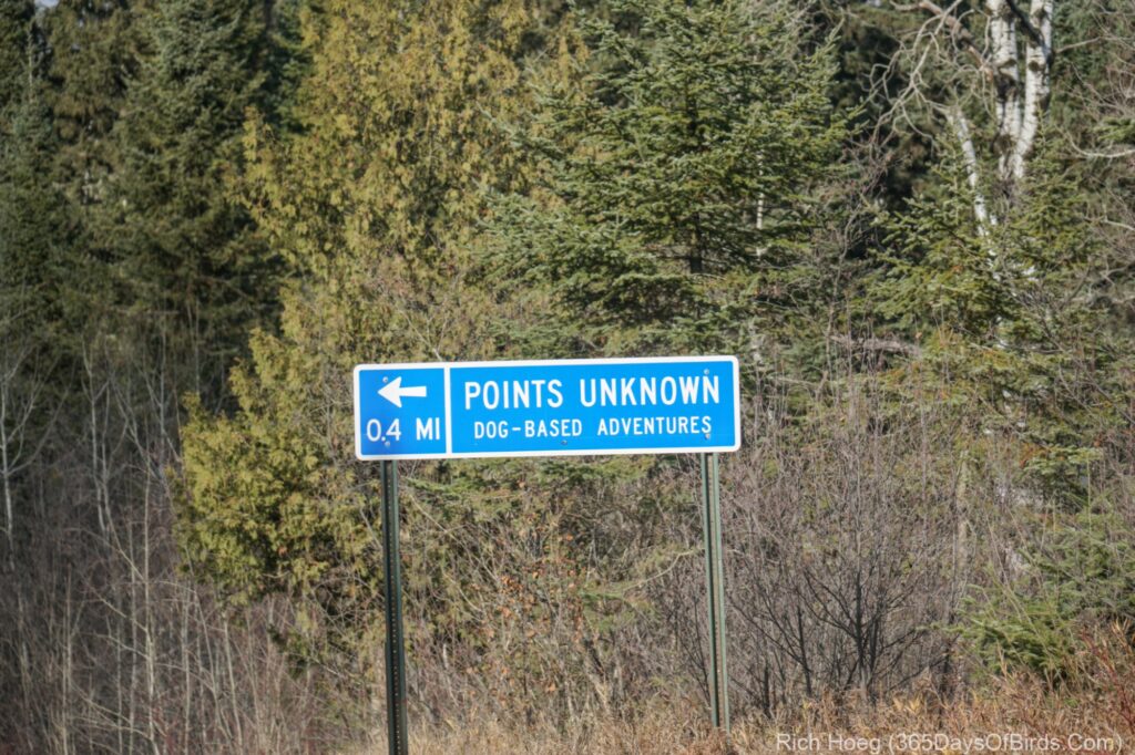
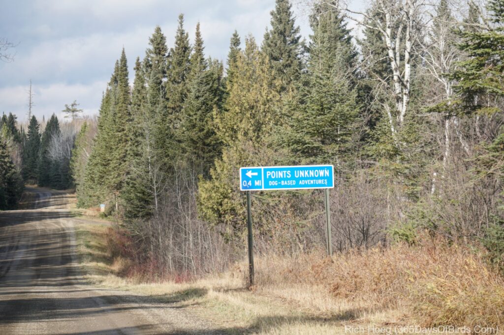
I was hoping to find some moose. This is the time of the year when moose are in love, but alas, there was no voyeurism for me! Instead, I mainly saw Ruffed Grouse and Common Redpolls. I am also including a few road signs and sunrise / sunset lighthouse pics from Grand Marais.
The ONLY road signs I saw other than United States Forest Service numerical road signs during almost three hours of exploring yesterday afternoon.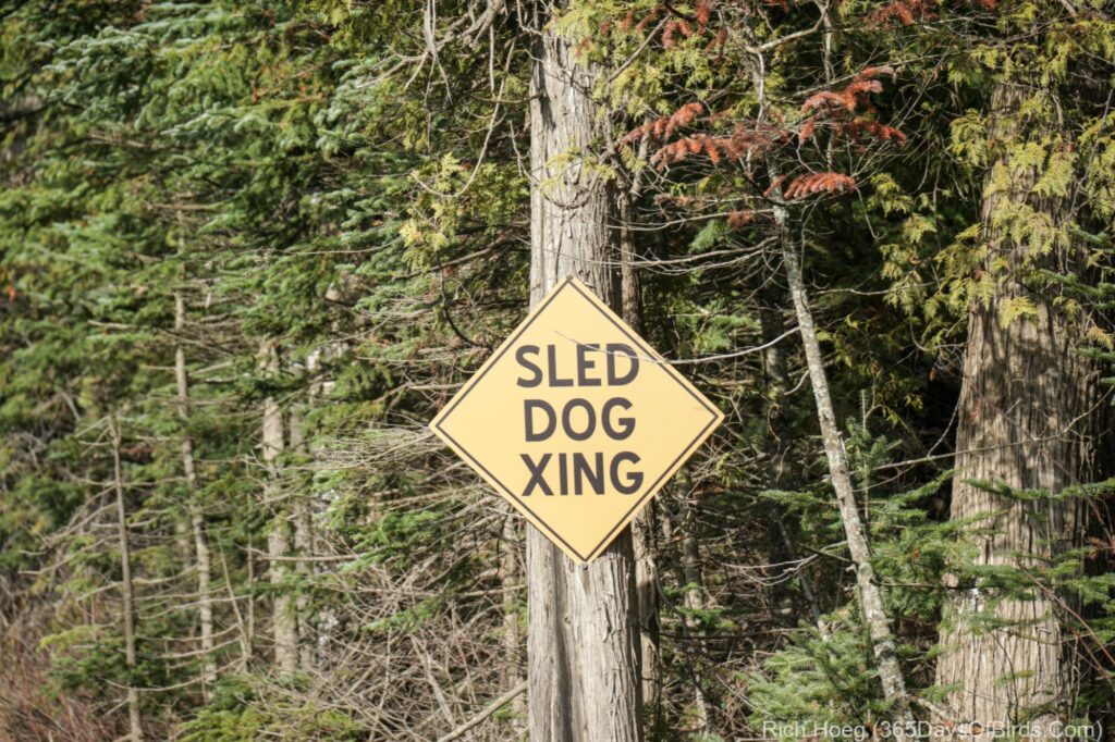
Sunset followed by Sunrise of the Grand Marais Lighthouse (last night and this morning)

Discover more from 365 Days of Birds
Subscribe to get the latest posts sent to your email.

Thanks for the very useful info and the photos. The map info would have helped me recently in North Dakota recently if I had realized how it worked.