The Pagami Creek Wildfire was back in 2011 … 13 years ago. One may reach part of the burn area via Tomahawk Road. 17 miles of driving a dirt road brings you to a beautiful old wooden bridge right at the Island River BWCA Entry Point, and in the middle of the burn area. I love this spot, and now so do the birds. Shortly after the wildfire I saw my first ever Black-Backed Woodpecker at this birding spot. Remember, Black-Backs love recently burned trees. These days the woodpeckers are not as much in evidence, but other song birds love the area near the bridge. The combination of burned out trees and new growth next to the wetlands makes birds happy. A few days ago when I birded this area I also very much liked the fact that the open terrain plus sunshine meant zero mosquitoes!
Back in 2016 I spent a fantastic night watching the Northern Lights at this remote spot. I titled the post “A Northern Night to Remember!” Here is one photograph from that night taken from the wooden bridge. 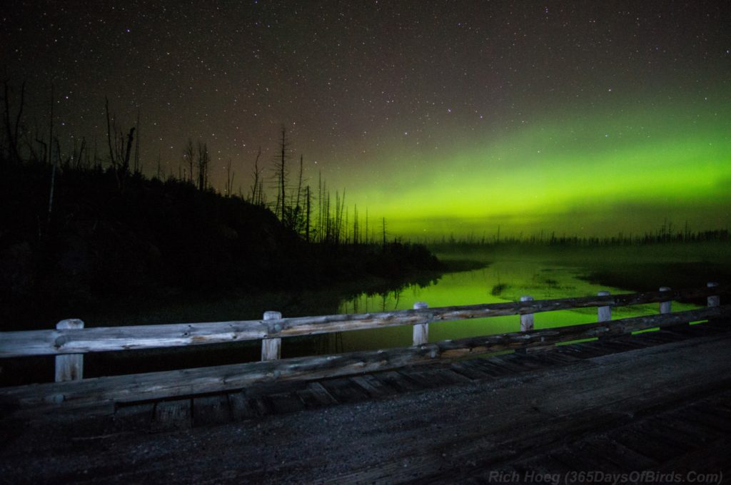
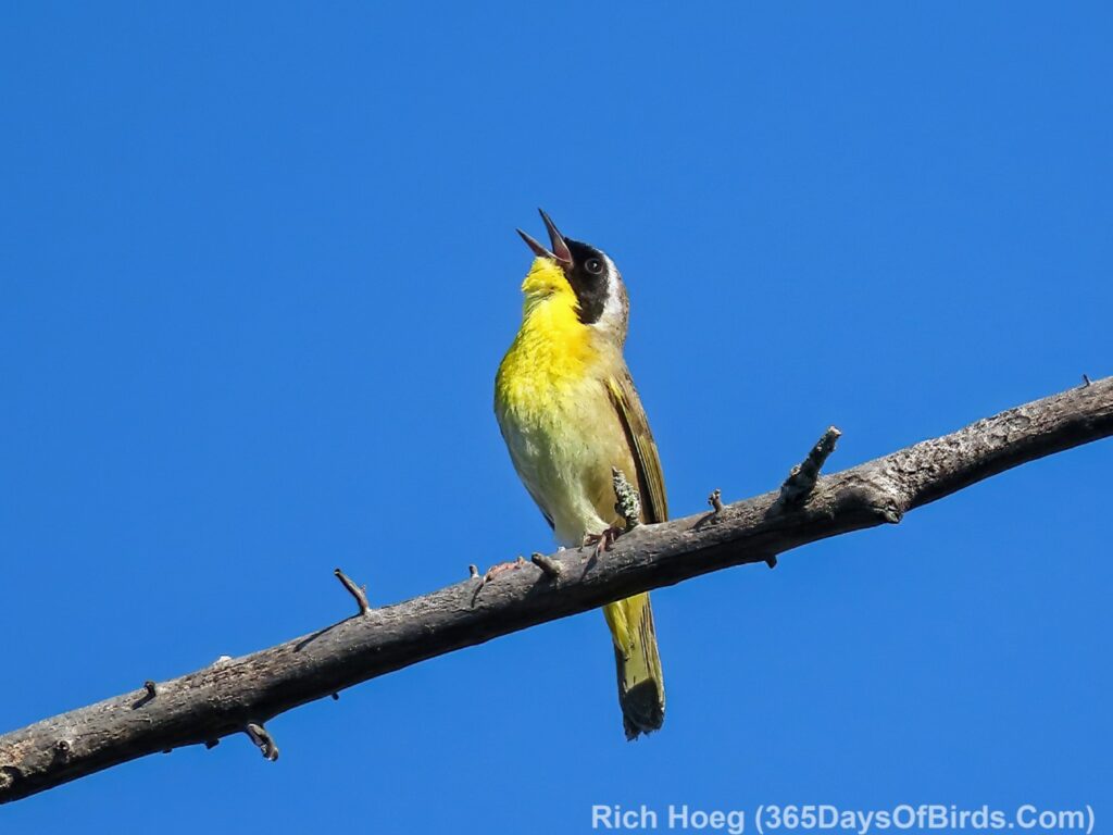
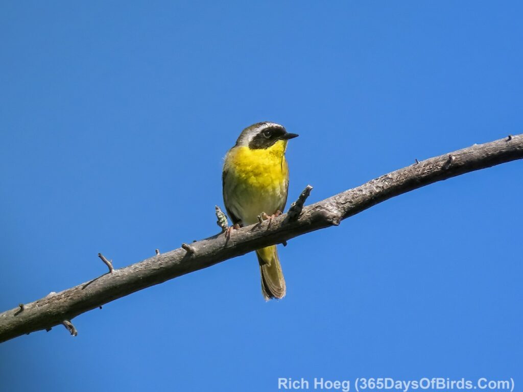
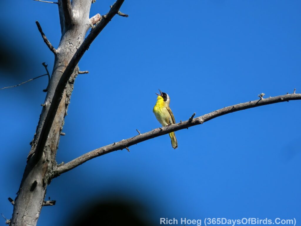
For my excitement this week it was having a Common Yellowthroat, a bird normally heard but not often seen, spend significant time on a dead tree near the road.
In addition, the birding spot was crawling with Wilson’s Snipes calling out their territories. Learn more about birding Pagami Creek not to far from Ely, Minnesota and other Northern MInnesota birding areas … my web site’s index of birding spots.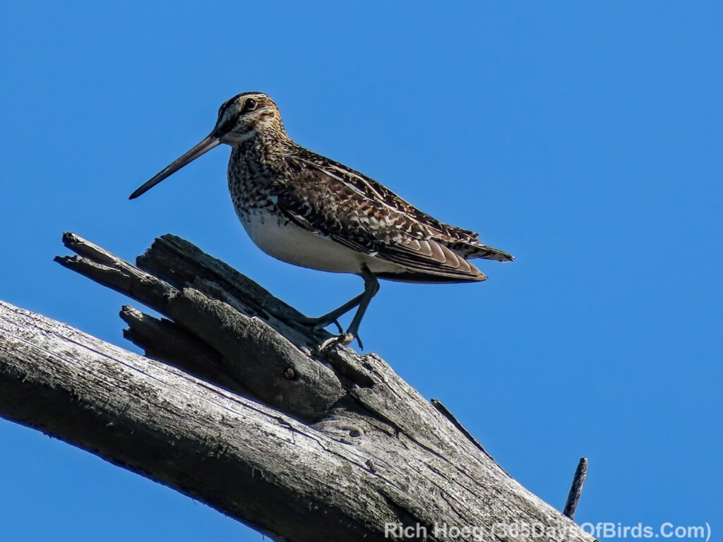
Discover more from 365 Days of Birds
Subscribe to get the latest posts sent to your email.
Fun to see the old Forest Center MN railroad spur bridge! Fifty years ago I worked a college summer on the DM&IR Railway section crew for that spur line. We would occasionally stop for coffee at the bridge and throw a few fishing lines in Island River. Mid-summer we would wear mosquito net helmets. Much different looking place since the Pagami Creek fire. https://www.google.com/maps/@47.7913663,-91.3204933,3a,75y,180h,90t/data=!3m8!1e1!3m6!1sAF1QipMTStY_a7zN-mBFeeuoB4fdcurdioBBFOdKA94_!2e10!3e11!6shttps:%2F%2Flh5.googleusercontent.com%2Fp%2FAF1QipMTStY_a7zN-mBFeeuoB4fdcurdioBBFOdKA94_%3Dw203-h100-k-no-pi0-ya241-ro-0-fo100!7i11264!8i5632?coh=205409&entry=ttu
Wow! Cool that you worked at that location!!! Alas, while you were on a DM&IR crew, my summer college job was to drive trucks for Coca Cola. Before the time of GPS and Google Maps I became an expert on natural landmarks out in the countryside. Most remote dirt roads were not marked with signs, and there were infinitely more small resorts and grocery stores that needed their pop.
Love that NL photo. You find the best places to find birds, etc.
Wow! Wilson’s snipes! Are they common at that site?
Yes. I always hear them and normally see them … early morning.