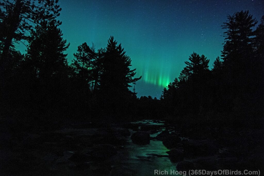
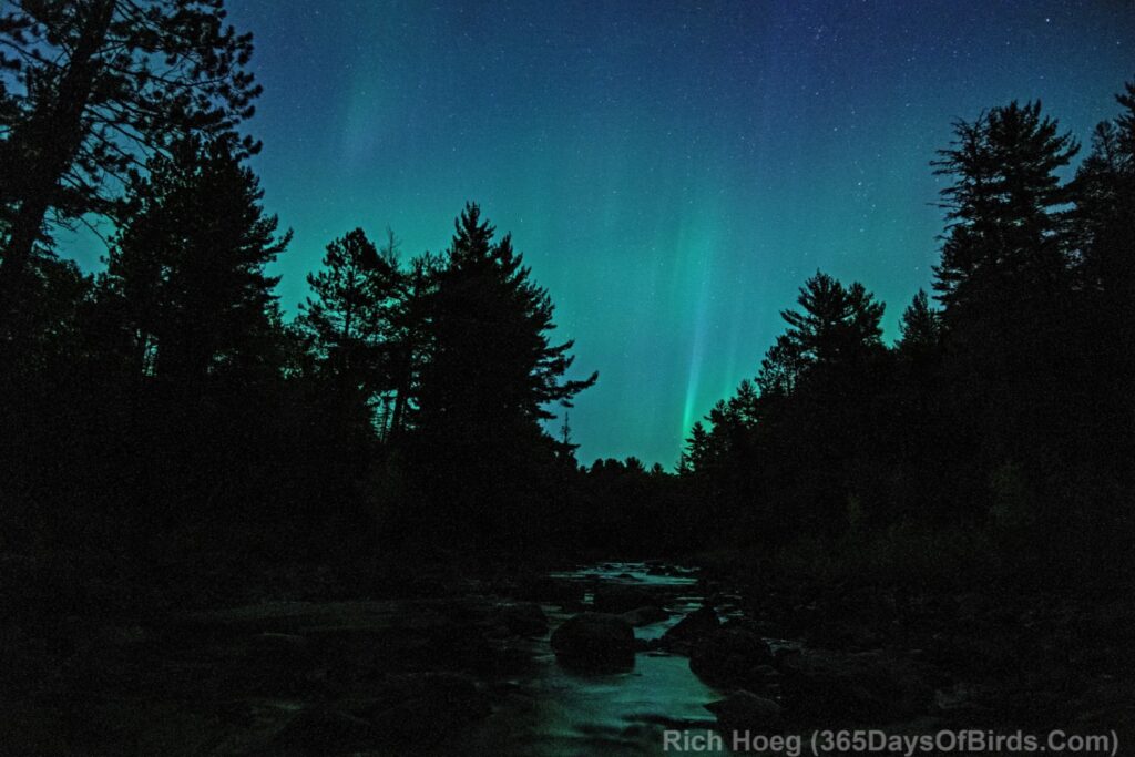
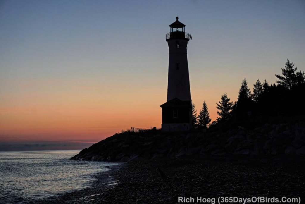
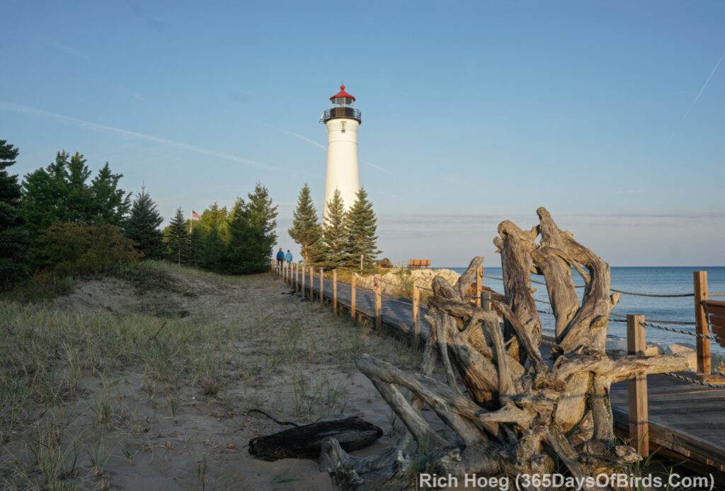
One week ago I was camped out at Crisp Point while working my volunteer lighthouse keeper’s gig near the far eastern end of Lake Superior, and Lady Aurora danced for me (see my post … Lighthouse Keeper’s Dance). This week Lady Aurora decided to dance for me near the western end of Lake Superior. I am a lucky guy! My location was deep within the Knife River Ravine one mile inland from the big lake. I hope you enjoy the lady’s Northern Lights dance. I did!
Note: I tend to edit my Northern Lights images in post processing to better reflect what I saw with the naked eye. With respect to last night’s dance I removed much of the green color my camera chose and made the Northern Lights more white. Most images were taken at an ISO of 3,200 for 2 seconds (Sony A6300, Aperture 2.0 and Rokinon 12 mm manual lens). The real time Northern Lights Videos are at the bottom of this post.
The Green Glow (around 10 pm … an indication the dance was about to start … the horizon often glows just before the start of a good Northern Lights display)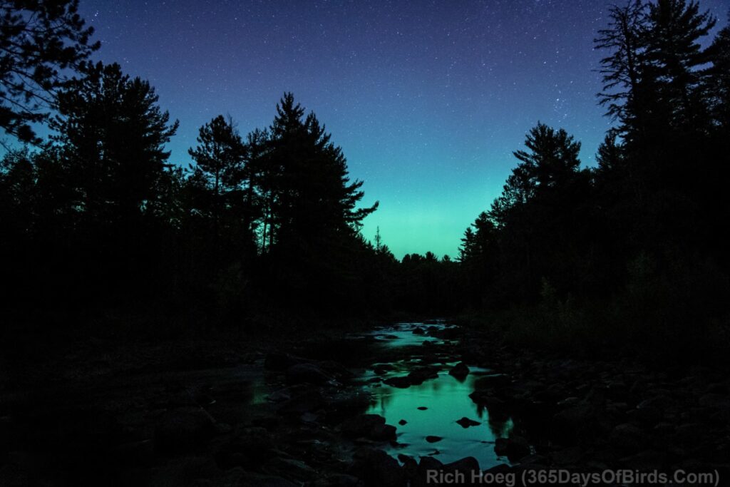
Firestorm (the lights were flickering on and off every second … and moving around in the sky)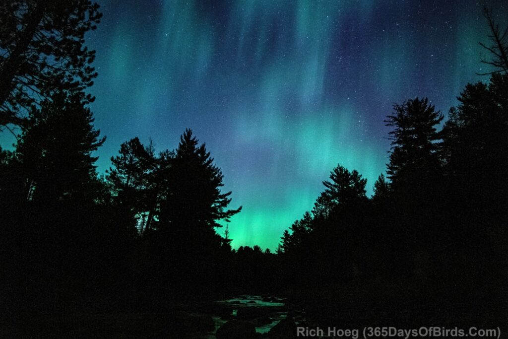
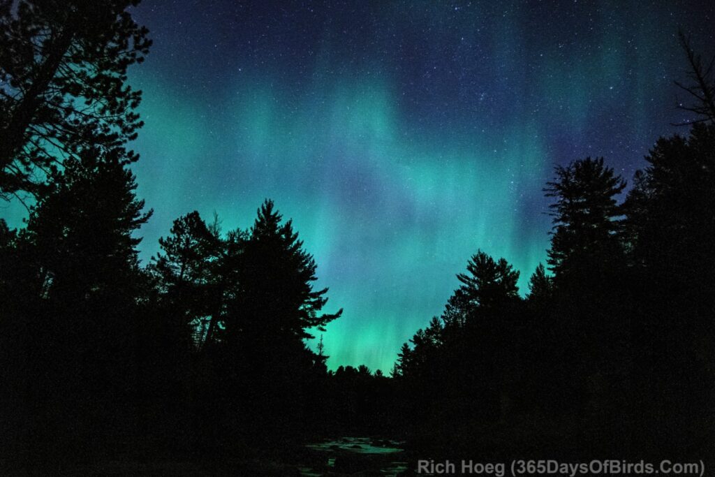
Some Light Painting to Better Show my Environment (see the boulders in the river)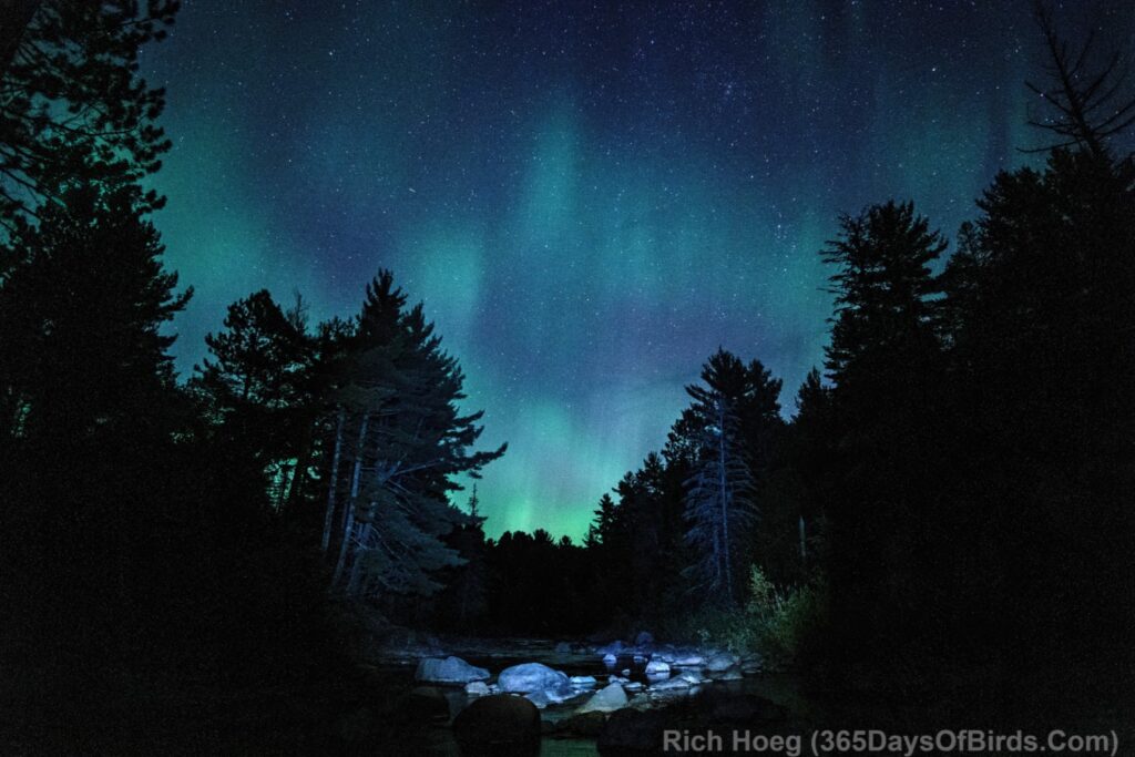
Around midnight I returned home. The Northern Lights were calming down. I took this photograph 150 yards from the end of my driveway.
Northern Lights at Amity Creek / The Deeps
And the movies! Yup, here are two real time videos I took with my Sony A6300 (not time lapse images stitched together). My Sony is not an expensive camera. It dates to the year 2016, and I was using a Rokinon 12 mm manual lens set at 3,200 ISO and Aperture of 2.0. My vantage point is I am standing in the middle of Knife River!
Lady Aurora’s Dance #1 (video link 1 for email subscriber)
Lady Aurora’s Dance #2 (video link 2 for email subscriber)
As with my still images, I did very little post processing of my two videos … some noise reduction and color correction to make the Aurora Borealis less green to better reflect what I was seeing with my naked eye.
