

My goal this morning was to move the Greenwood Bird Feeders. Over the past month there had been very little bird action near the abandoned railroad tracks immediately south of the burn area. I moved the feeders about four miles south near the Greenwood Creek Boreal Bog. Learn more … see images of the new location … get the new GPS Coordinates and see a map.
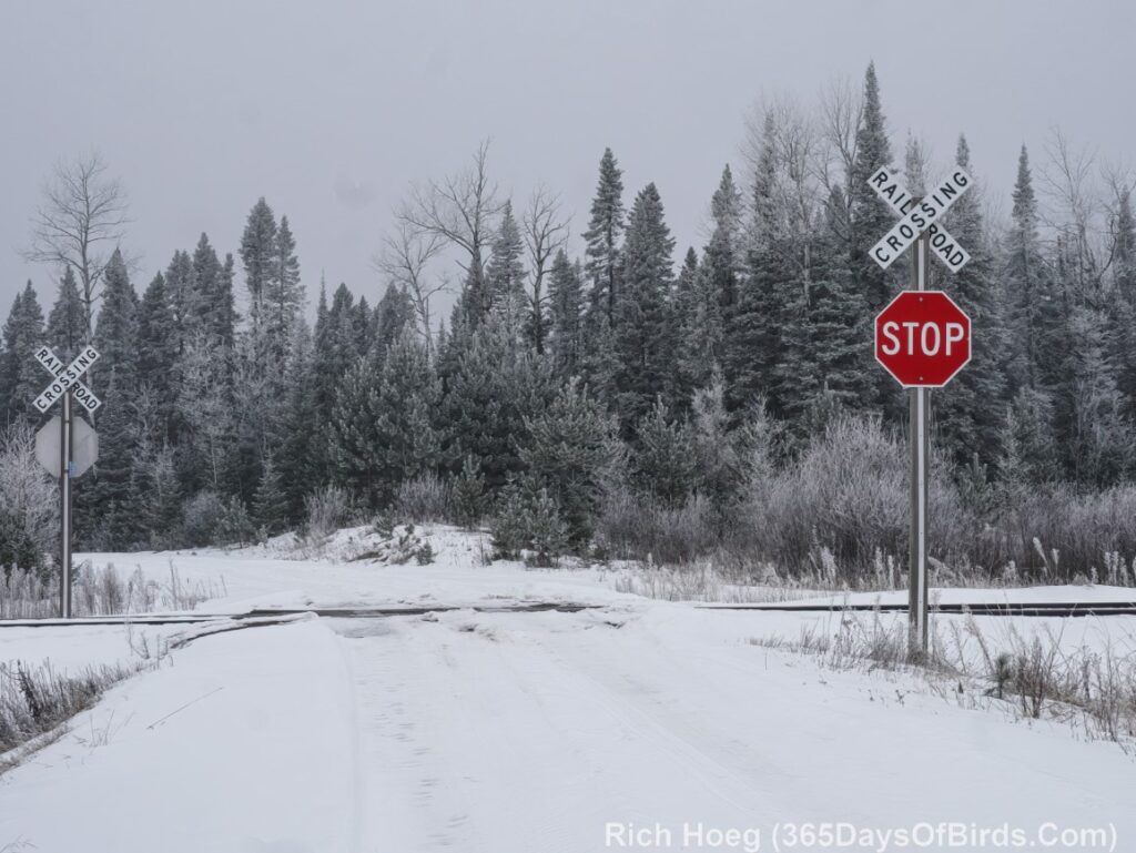
My trip 60 miles north of Duluth was into the Ice Fog. I took these two pictures on the Langley River Forest Road (built in the 1930’s by the Civilian Conservation Corps)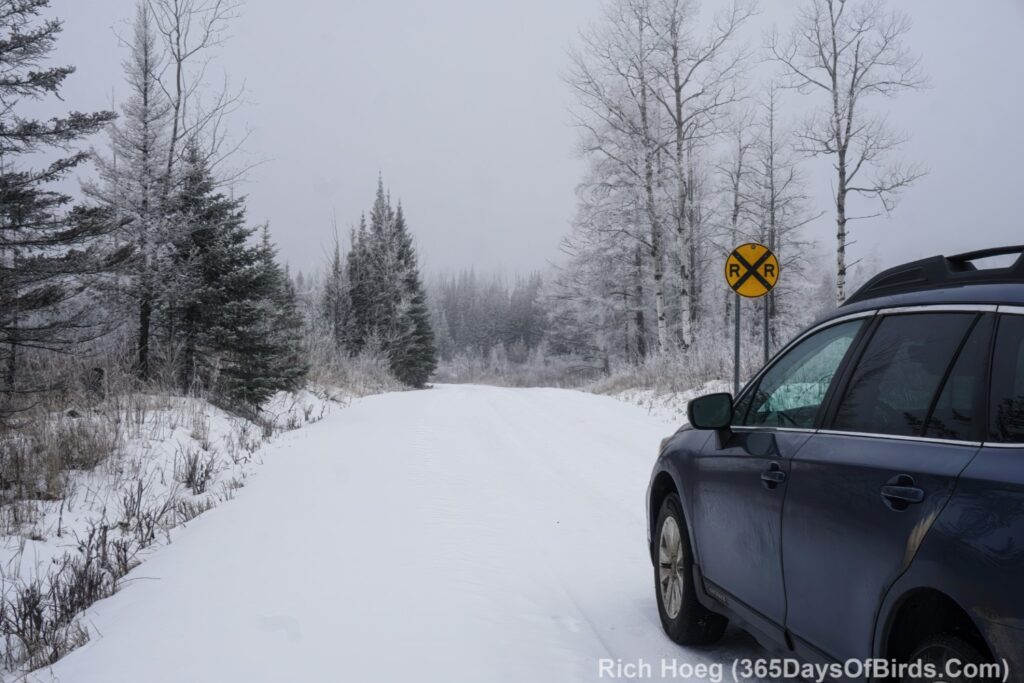
Finally quite a few people have asked me where the Cook Bog is located. You will never find this “place name” on a map, but here is a description: The Cook Bog is Boreal Forest Bog Habitat east and west of Cook, Minnesota. Some key roads include Hwy #22 going west from US #53, Johnson Road (#48) going east from US #53 just south of Cook, and Mn #73 which is a north / south road a bit west of Cook. Just like in Sax-Zim Bog, these roads will not be 100% Boreal Forest Bog. A person will need to learn Bog forest habitat and focus on those regions. Please understand many other back roads are worth exploring. You will NOT find “Cook Bog” on any map. In general this area is 45 to 60 minutes north of Sax-Zim Bog.