Tag Archives: Birding Know How

Birding and the Weather / Apps

This morning I had planned to return to the Greenwood Forest Fire Burn Area which is 40 miles north of Two Harbors. Before heading out on a birding outing, I always check the weather conditions, and sometimes the road reports. Optimal weather in the winter involves both safety, and understanding if I am likely to be successful. My check of the weather this morning put an end to my birding plans … icy roads and low visibility.

The number of weather apps available for either the Android or Apple platform is mind boggling. I will review the app I use, and indicate the aspects of the app I like and why. Obviously other apps may have similar features … the key is does your app provided you with the necessary data. My app is WeaWow (Google Play | Apple App Store). The basic app is free and has no advertisements, but for a small $2 donation you may unlock additional sources used for weather data input.

Click / Press Upon any Image to View at Full Size!

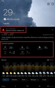
The StartUp Screen & Overview


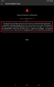
The Weather Warning from the US Weather Service (based  upon  this  warning  I did  more  research. Not too surprisingly I am very interested in wind speed / direction, cloud cover, and visibility)


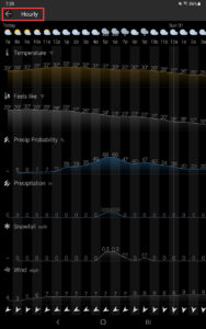
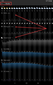
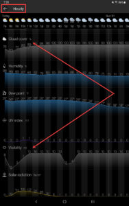
Hour by Hour Forecasted Details (my arrows point to information in which I have most interest)


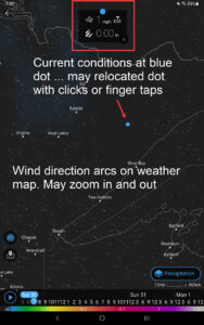
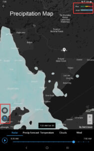
Weather Maps (what is happening right now … rain/ snow and wind are my primary interests)


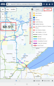
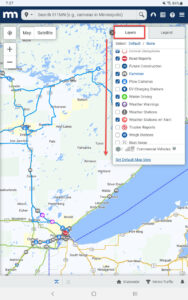
The weather data concerned me enough I then browsed to Mn511. This service of the State of Minnesota provides current road conditions. I can even look at pictures only  minutes old from snow plow cameras (real cool). Most states have similar services.

Here are two screenshots taken earlier this morning when I decided to cancel my morning birding outing. In summation, use the weather apps / services. I doubt I would have seen anything, and already many car crashes were being reported.

Crisp Point Lighthouse is NOT on a Bird Migration Highway

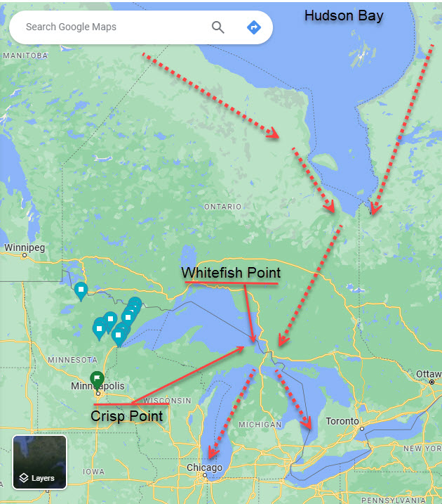
I have served as a Crisp Point Lighthouse keeper for many years during the Fall Bird Migration. Most folks knows of the major North American Bird Migration Highways: The Atlantic or Eastern Flyway, The Mississippi Flyway, The Central Flyway, and The Pacific or Western Flyway. However, each of these major flyways is made up of many smaller “bird highways”. Although Crisp Point is only 10 miles “as the crow flies” from Whitefish Point, very few birds are ever seen near Crisp Point. Take a look at this map, and you’ll understand why. Birds don’t want to fly west from Whitefish Point along the shores of Lake Superior when much better options exist to fly directly south along Lake Michigan or Lake Huron (another post of mine about migration highways). In five days of lighthouse keeping at Crisp Point I saw very few birds. However over the past week the official migration counters employed at Whitefish Point saw thousands and thousands of birds (only 10 miles distant). Moral of the story … look at a map of your local and regional area. Pay attention to “migration highways” … rivers or large lakes. Chances are these spots will optimize birding during the twice yearly migrations.


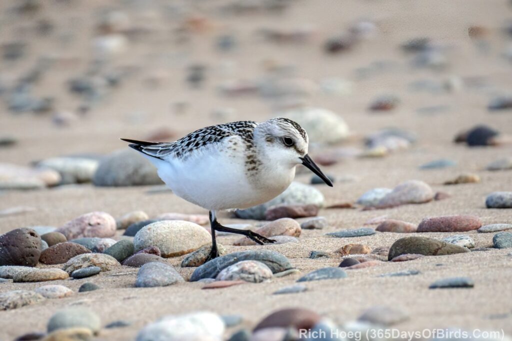
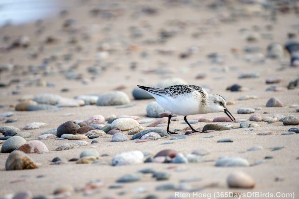
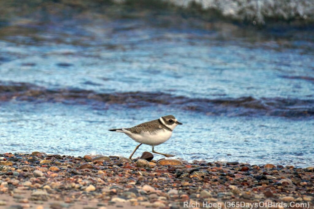
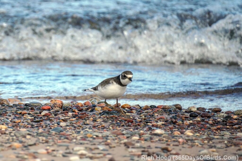
Here are a few shorebirds I did see on one “keepers” walk … Sanderlings and a Semi Semipalmated Plover.


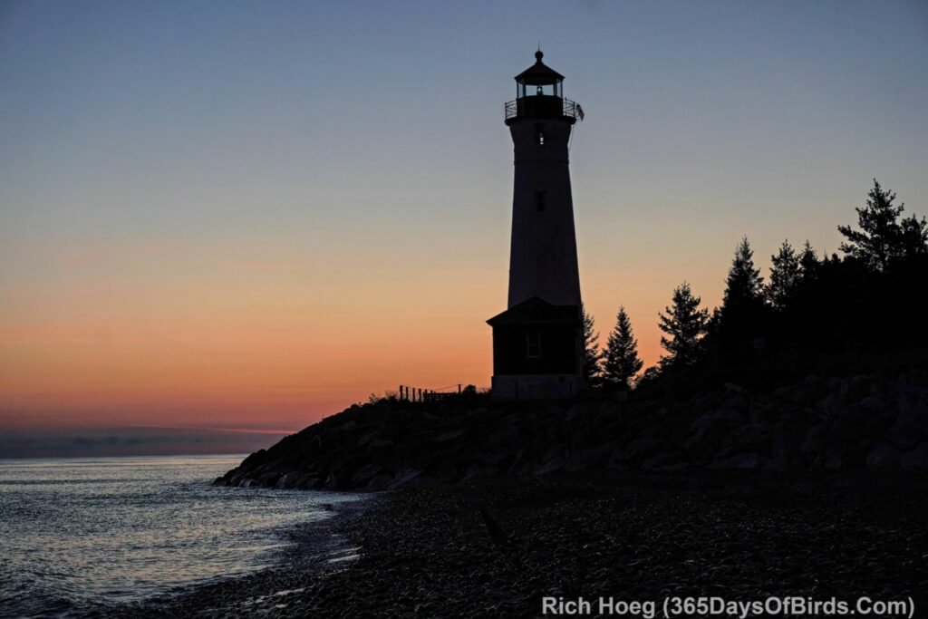
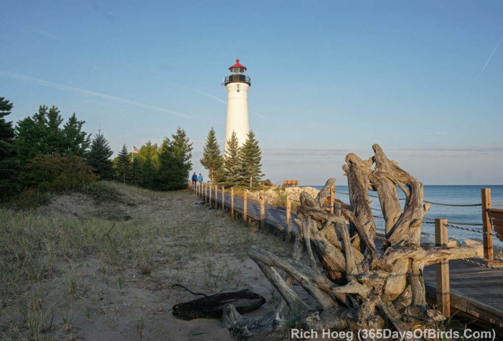
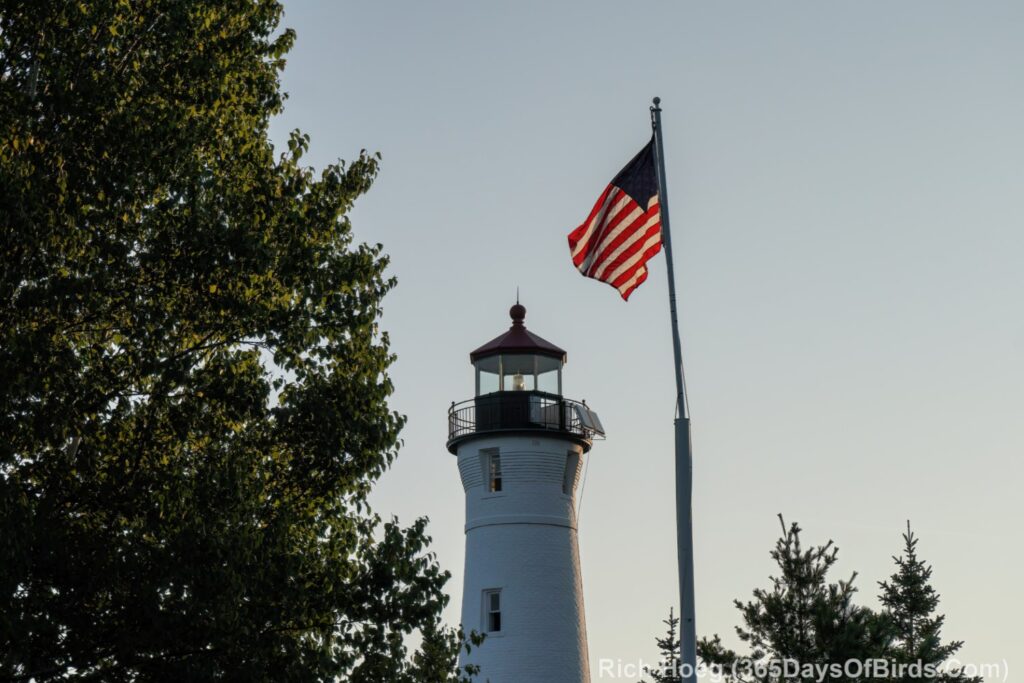
And a couple of final photographs of the lighthouse …

Northern Lights and Birding Smoke Plume Current Conditions and Forecasts

Each of the past several summers, smoke plumes from forest fires has made taking bird photographs with “sky blue” colors, and seeing the Aurora Borealis difficult at times in northern Minnesota (and the rest of America). For years both in Canada and the United States the goal was always to put out forest fires immediately. While certainly there are always times when wild fires must be extinguished immediately to protect life and property, forests need to burn occasionally to stay healthy. Read more about this need for fire … Fire in the Ecosystem: Boreal Forest (National Park Service)

Here, however, are two tools which will help you deal with the smoke plumes. I have also annotated several screenshots to assist in your understanding and using these tools. Unfortunately the forecasting tool does not reach too far in the future.

Both tools are from NOAA. Click or Press Upon any image to view at full size.

Fire and Smoke Map Current Conditions: (web site)


Smoke Plume Forecasting: (web site)