Tag Archives: Birding Know How

Minnesota Boreal Forest Birding (Facebook Group)

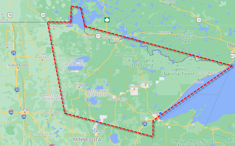
Earlier this morning I created a new Facebook Group, Minnesota Boreal Forest Birding. The image accompanying this post defines the area. Although the group is private, a Facebook account is required to join / participate. The group’s description and basic rules are listed beneath the map.

This group covers birding in the Boreal Forest Region of northern Minnesota, including The Big Bog, Sax-Zim Bog, the BWCA, and the North Shore of Lake Superior including Hawk Ridge.  Here is Facebook direct link:

  1. Our region is defined by the map accompanying this post
  2. Images MUST be posted within the group (not linked). Only one image is allowed for your primary post, but additional images may be posted in subsequent comments. Images should be your own, or clearly identify the owner.
  3. Posts of birding photographs should be recent, and note the basic date and location. For sensitive species using a general location is acceptable. Please add text describing your birding experience.
  4. No advertising or links to commercial websites without prior administrative approval. If your web site is “non commercial” and “not trying to sell something”, and has a clear relationship to birding in our area, links ARE allowed and most welcome.
  5. Discussion of ALL birding topics relevant to our region ARE allowed, but ONLY using polite civil language (no personal attacks or bullying).
  6. Our region is not 100% Boreal Forest. Feel free to post about birds seen in other habitat found throughout our area.

Wilderness Wayfarer: Google Maps Offline

For the last few days I have been hanging out in Grand Marais and the Gunflint Trail region. This reminded me I have been wanting to blog about Google Maps offline usage. Even if you live in a large metropolitan area, Google Maps Offline will help you:

  • Connectivity is never perfect. Google Maps Offline insures your directions work even if you lose your connection.
  • Given your phones’ GPS chip works w/o connectivity, pre-downloaded maps means never getting lost
  • Having downloaded map regions via wifi, you save on your data contracts
  • In northeastern Minnesota next to the Canadian border, having a data connection is a pipe dream

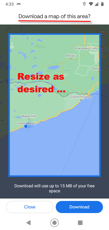
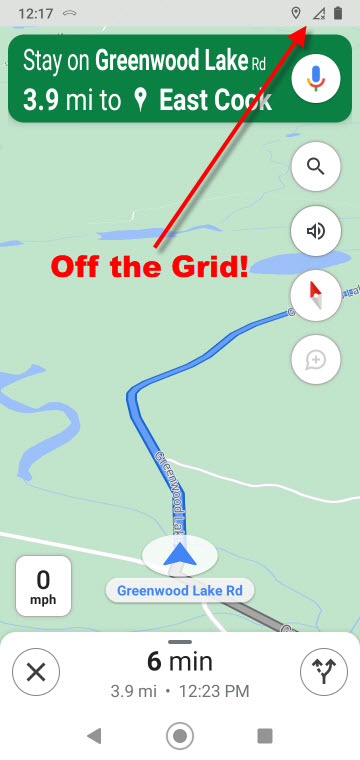
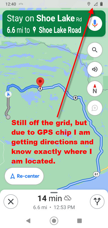
Here are some screenshots from my phone while exploring the wilds on the Northland this weekend.

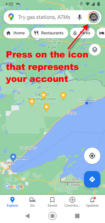
.1. Looking at Google Maps on my phone. Tap upon my icon to pull down the menu.


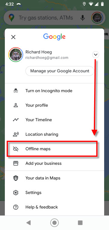
.2. This menu appears, and I want to select “offline maps”


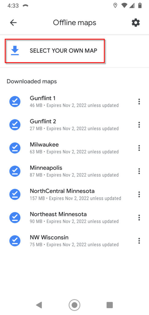
.3. I already have some maps downloaded, which Google updates when required. In addition, I may download and name an area specifically desired by me


.4. Given I pressed “select you own map”


These two screenshots were taken while I was in navigation mode. I may zoom in and out as desired. Even without a connection, Google talks out loud and tells me when to make a turn.


Now for some photography …

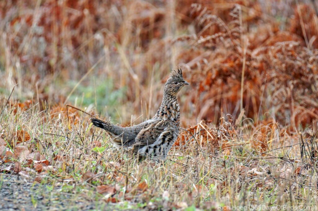
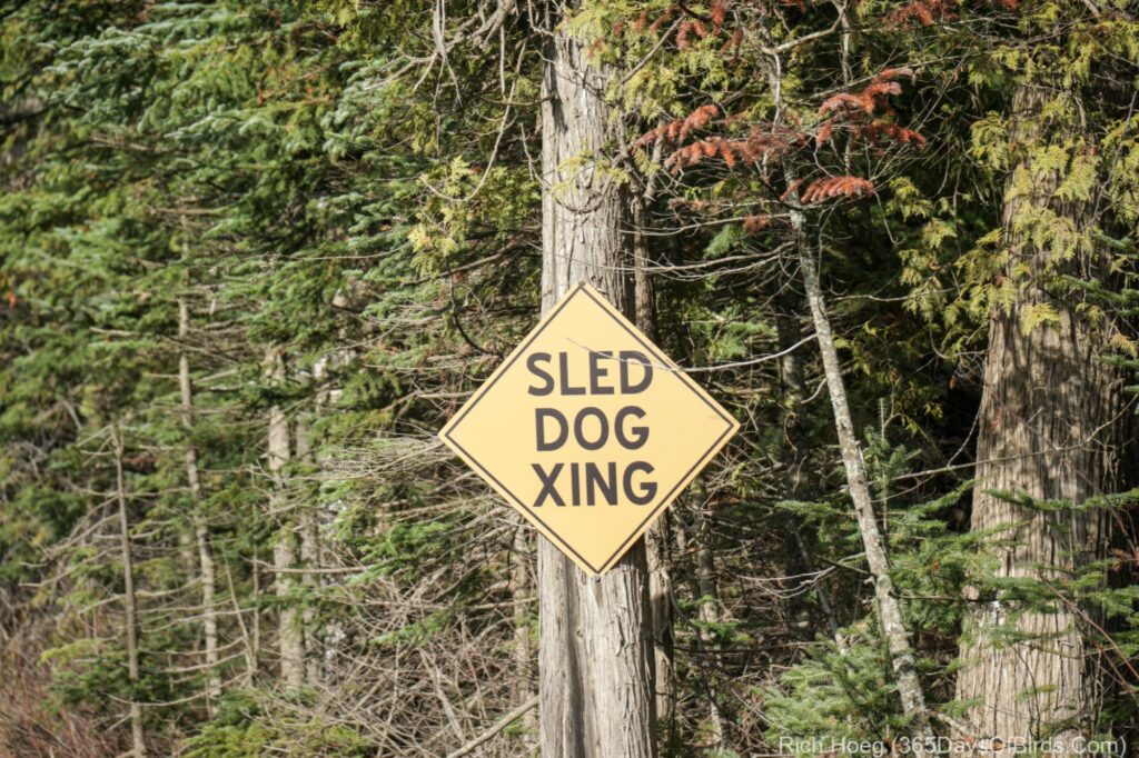
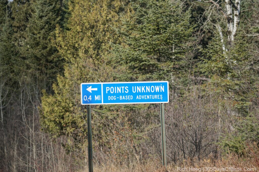
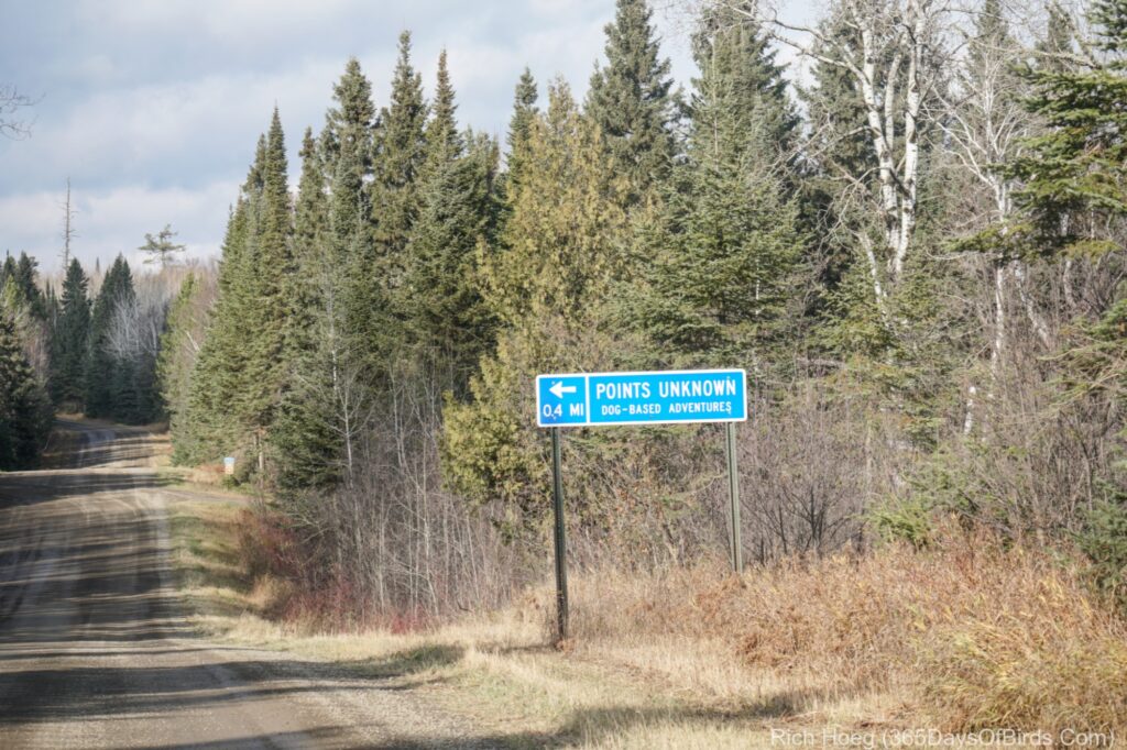
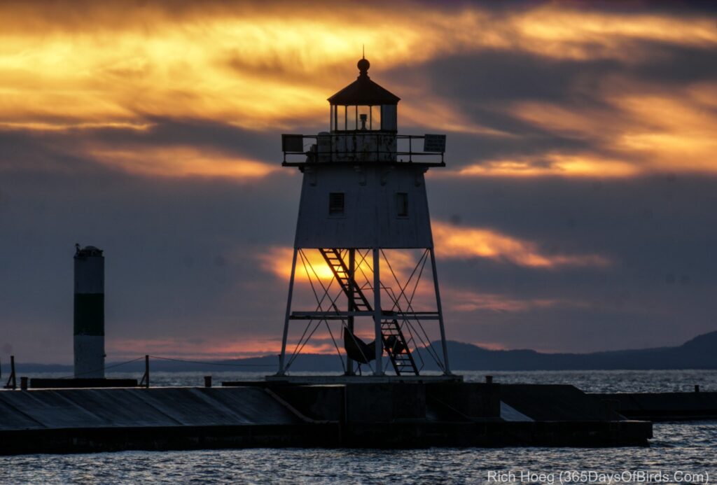
I was hoping to find some moose. This is the time of the year when moose are in love, but alas, there was no voyeurism for me! Instead, I mainly saw Ruffed Grouse and Common Redpolls.  I am also including a few road signs and sunrise / sunset lighthouse pics from Grand Marais.

A Ruffed Grouse

The ONLY road signs I saw other than United States Forest Service numerical road signs during almost three hours of exploring yesterday afternoon.

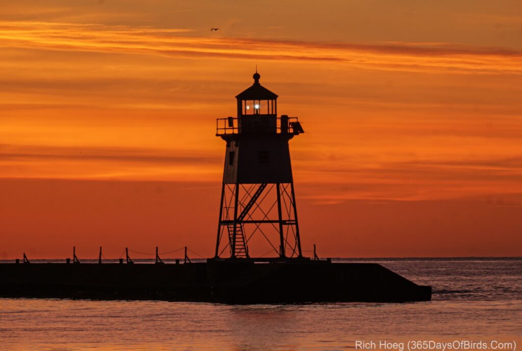
Sunset followed by Sunrise of the Grand Marais Lighthouse (last night and this morning)

Greenwood Lake Forest Fire Birding

The Greenwood Lake Forest Fire is in the news and for good reason. This fire ignited on August 15th from a lightning strike, and has been growing about 1,000 acres per day due to warm, dry, windy conditions. The prevailing winds have been from the south, which unfortunately threatens many wilderness cabins and homes on the McDougal chain of lakes. Many, many people are threatened by this fire, and have been evacuated including a personal friend, Michael Furtman. Mike has a cabin up on McDougal Lake, and I have been following his story as he tries to learn what is happening to his dream cabin in the woods. He and his wife were evacuated safely. Thus, obviously, I do not mean to discount the personal tragedies which are unfolding. It is a sad situation.

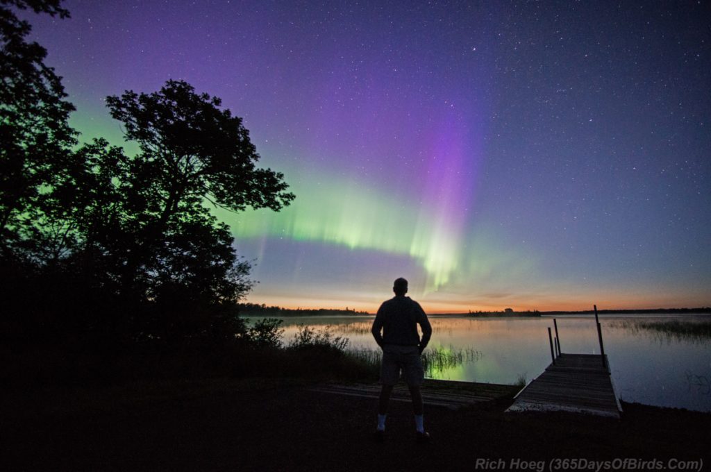
This area about 60 miles from my Duluth home is a favorite spot for me to spend time in the forest. The skies are dark (rated a #1 … the darkest in the world), and the wilderness is unspoiled. Here is a selfie I took five years ago as I watched the Northern Lights in the pre-dawn light from the Greenwood Lake boat launch. The fire started on the north shore of the lake in the direction that I am looking.
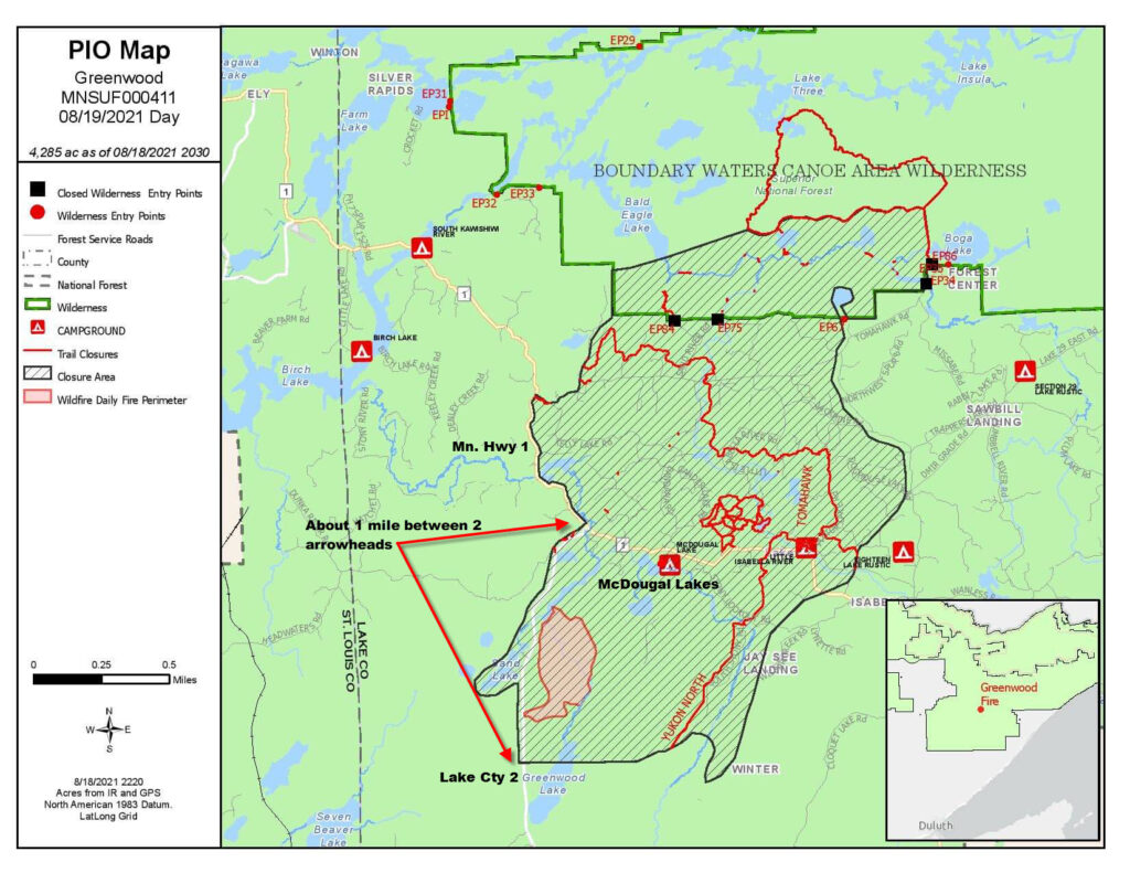
The fire as of this morning (Friday, August 20th) is just under 5,000 acres. The forest service is hoping to use Lake County 2, Minnesota Highway 1, McDougal Lakes and a Power Line Cut on the south of the region to contain the fire. However containment is made difficult when embers skip forward 1/2 mile north of the fire and start new areas burning. The red area just north of Greenwood Lake is the present boundary of the fire.

(source of map and image: Superior National Forest)
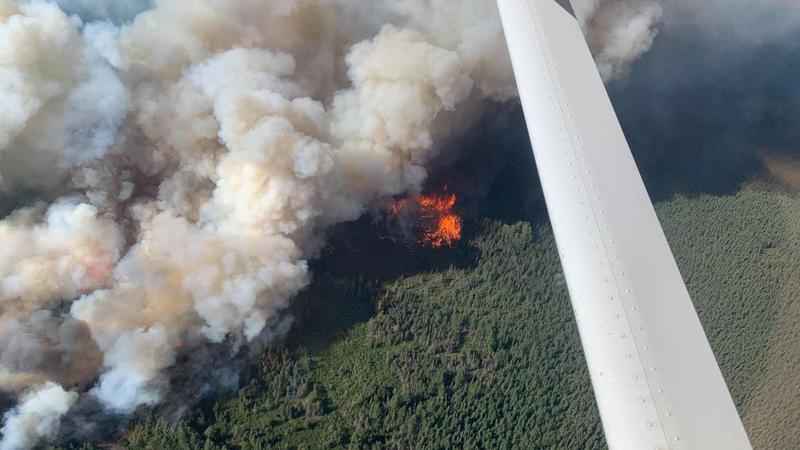
Fires in recent years have proven more of a problem to extinguish. Over the past 50 years, fires were often put out too quickly. While this might seem smart, forest fires are a natural part of the environment. Through fires forest grow anew. Fire management now lets fires burn in areas which do not threaten people.  The Forest Service is trying to protect the McDougal Lake area and its cabins.

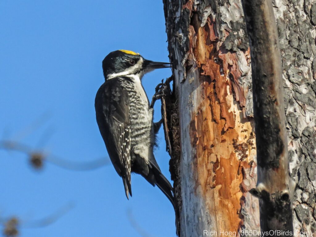
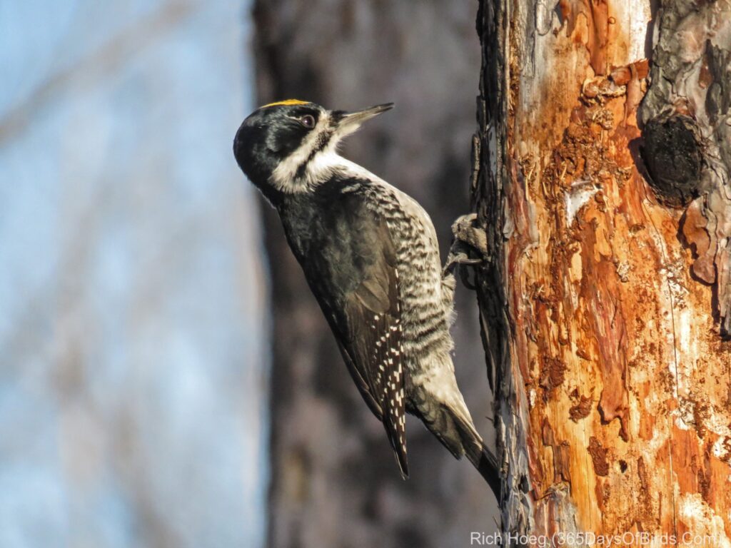
This fire will change the area. Within 5 to 7 years new spruce trees will repopulate the area providing great forage for animals and birds alike. Within a year, one of the first birds that will arrive on the scene will be the Black-Backed Woodpeckers. A few years ago, I actually took these photographs of Black-Backed Woodpeckers in the middle of the Pagami Creek Wildfire burn region. Somehow these woodpeckers figure out there is a new burned out region, and move in for the next five years … enjoying bark beetles that are feasting on the burned out trees.
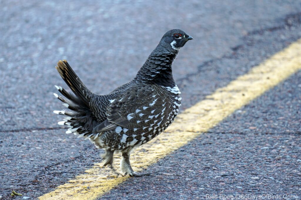
Spruce grouse will rebound in about 5 to 8 years as the new spruce trees grow up. However, there will be slim pickings in terms of food for spruce grouse over the next few years. I took a photo of this Spruce Grouse right within the Greenwood Lake Forest Fire Region last winter.  The bird is actually “gritting up” on Lake County 2.
More than birds will be affected. Moose will ultimately move into the regrowth area as the burnt out area provides lots of new forage. However, in the short term this fire may be a tragedy for lots of folks with cabins in the wild. Learn more about forest fire regrowth.