Tag Archives: MN North: Cloverland

Birding Off the Grid!

Or in a metro area, you should consider using Google Map’s offline feature. In my case, over the past nine days I have birded “The Big Bog” near Upper Red Lake Minnesota, Sax-Zim Bog (NW of Duluth), Cloverland (NW Wisconsin) and finally this morning … deep in the Superior National Forest in northern Minnesota. Now you may be thinking, I live in a metropolitan area, why should I worry about accessing data offline?

The answer is simple, using the offline feature of Google Maps dramatically increases the response time of your maps / navigation. While you may not be off line like me, metropolitan areas can be difficult to navigate whether your birding or just trying to find that new restaurant where you are meeting friends. Your phone will not need to download maps as you move around a region. If you have a restricted data plan, the maps can be downloaded at home while connected to wifi (i.e. no data charge).

Finally, believe it or not the navigation system with audible commands works when offline. Your GPS chip will find your location, and most smartphones will work with the offline data and speak / give directions.

Here are two of my better images found while “birding offline”

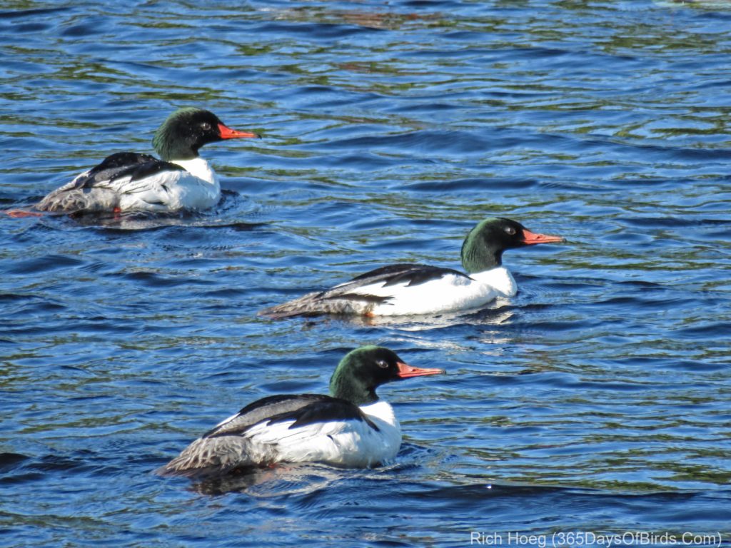
Common Merganser Trio (Guess what they were chasing? Love!)
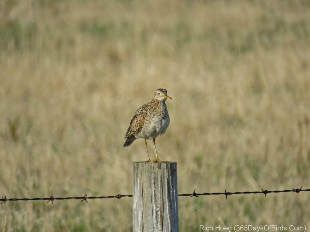
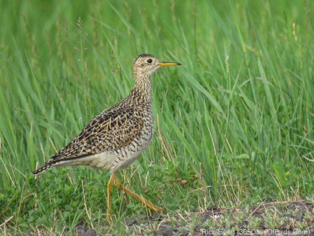
Upland Sandpiper (rare for these parts … found 200 yards west of Cloverland town hall on Wisconsin Hwy #13)
Google Maps Offline Images

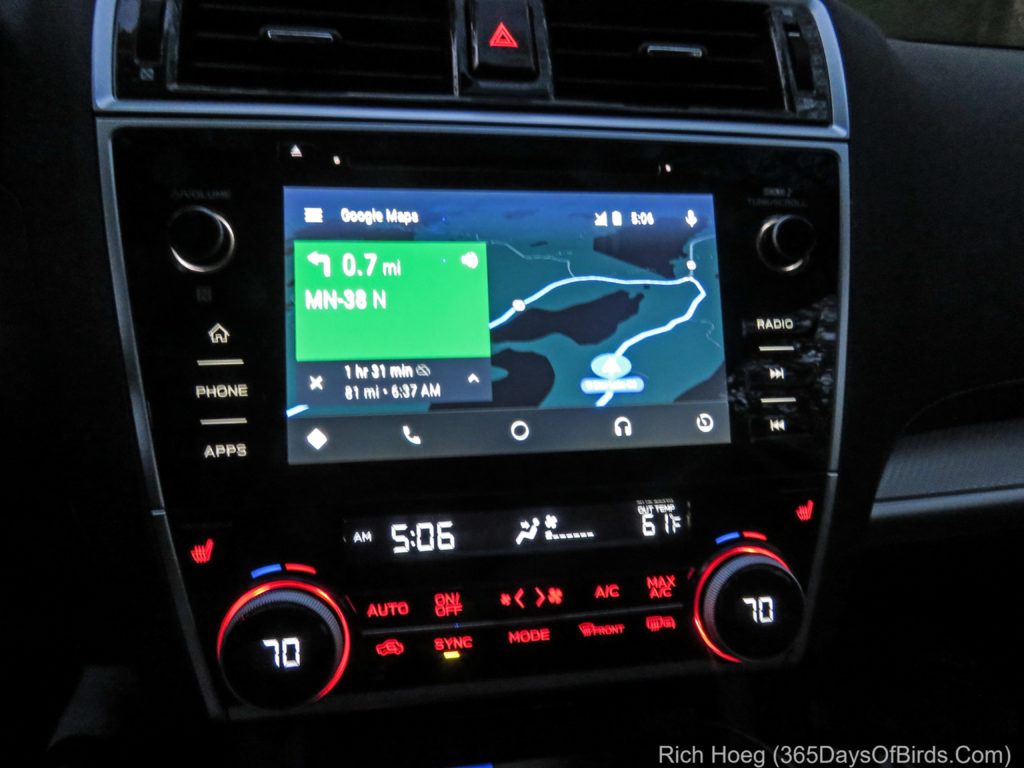
Leaving for The Big Bog from my cabin … offline and early in the morning … my phone is hooked up to my car’s display … also works fine w/o being integrated with your car.
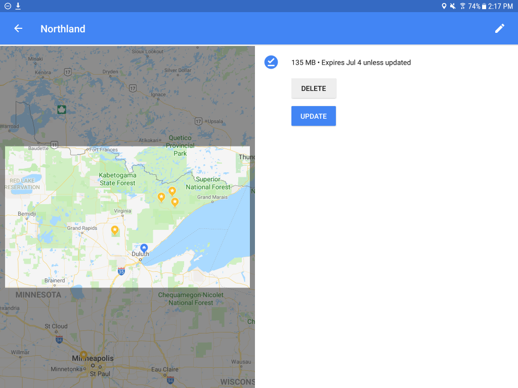
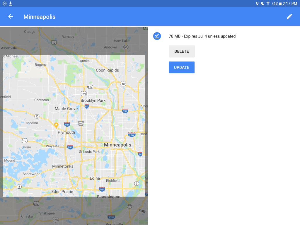
Two Google Maps screenshots from my phone … remote and urban … shows my downloaded regions … two of my three children live in the Twin Cities. Regions update automatically.
Reading the Lake Superior Bird Migration Effect!

Lake Superior at this time of year is cold! The water temperature is only in the high 30’s and even on May 18th there is still a tiny bit of ice in a few spots around the lake. This extreme cold not only affects the region’s weather, but also has an effect of where one can find birds.

As my wife was out of town, I decided to have a heavy day of birding. Given my knowledge of Gitche Gumee I visited three different spots where I expected to find certain kinds of birds.

  1. My first location to visit was the Cloverland / Wisconsin Hwy #13 Grasslands. This area is on the south shore of Lake Superior, and is warmed by any southerly wind. In Northeastern Minnesota, southerly winds come across Lake Superior and the forests near my home are much colder … later into the Spring.  I know I am able to find grassland and wetland birds much earlier near Cloverland.
  2. My second location was a spot on the Western Waterfront Trail which is protected from Northeast winds. This means some protection for migrating warblers and the trees bud and bloom a bit earlier than elsewhere. It is a good early season location.
  3. My final location was Minnesota Point just before sunset. For the past three days strong winds have blown off Lake Superior and I guessed the NE winds would result in Arctic shorebirds taking a break from their northward migration.

I was correct on all accounts. Here are some my images from today …

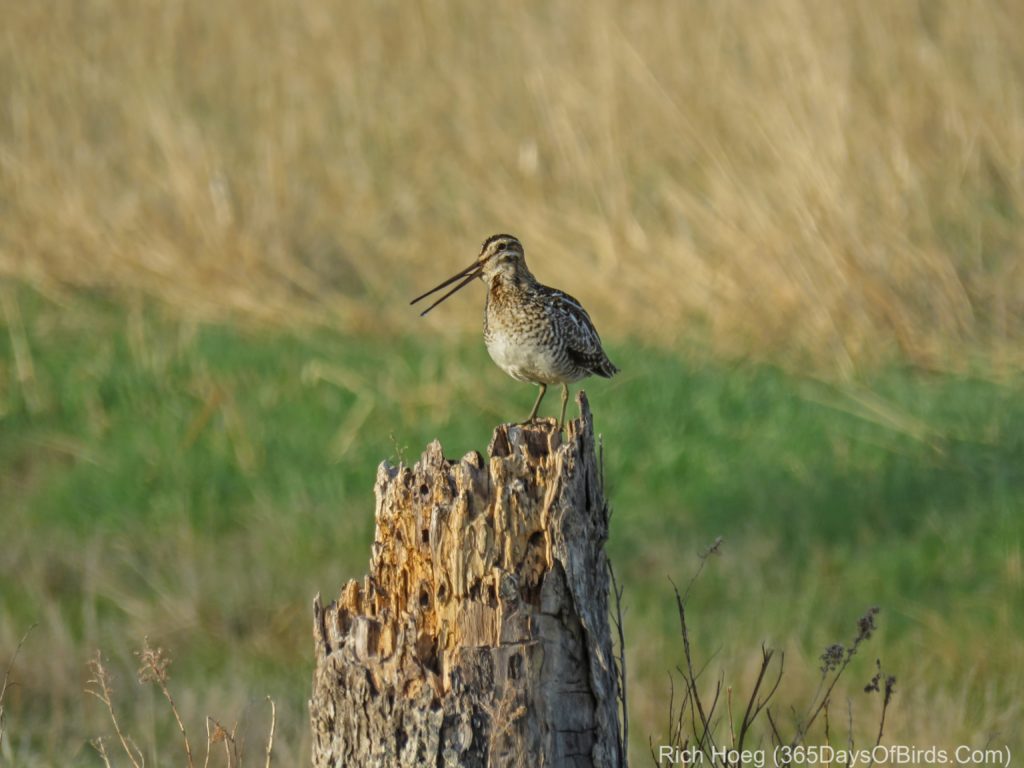
Sunrise Birding near Cloverland Wisconsin … Wilson’s Snipe and an Upland Sandpiper

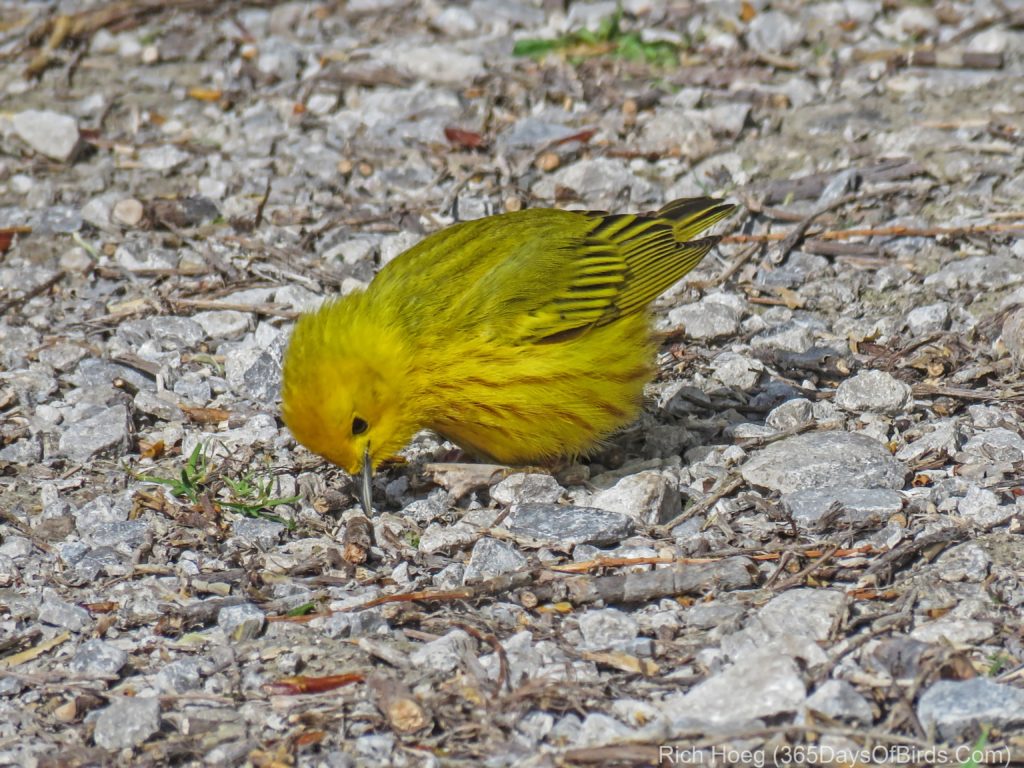
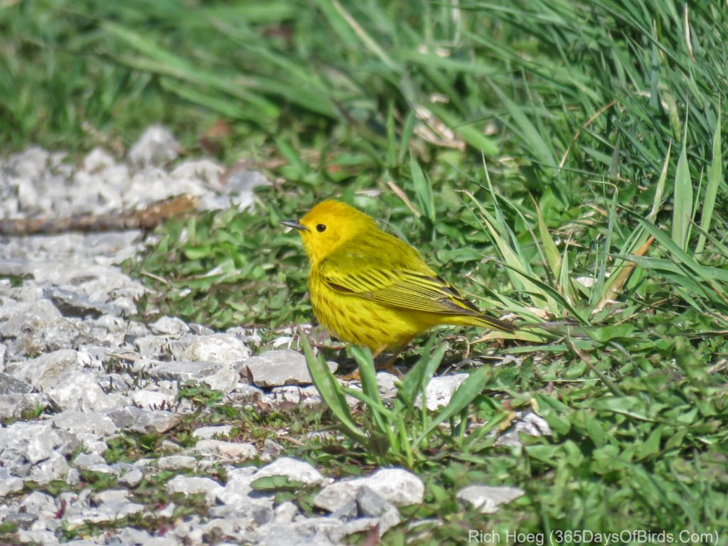
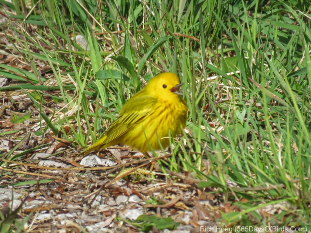
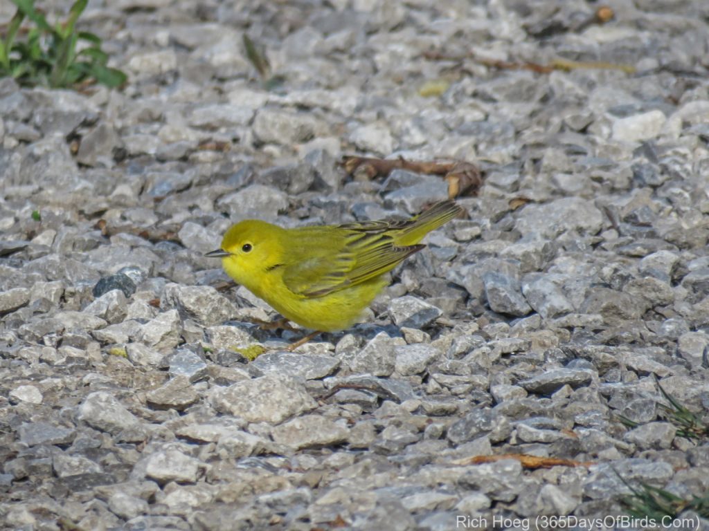
Mid Morning Birding the Western Waterfront Trail … Male and Female Yellow Warblers

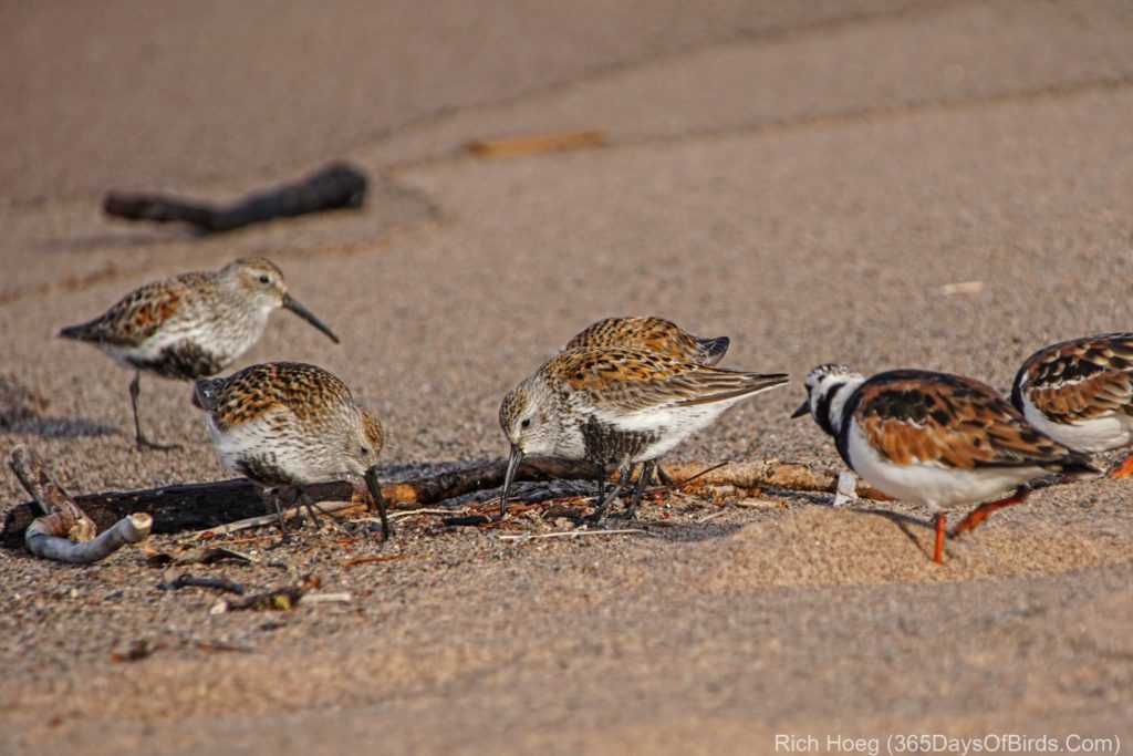
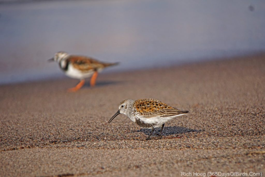
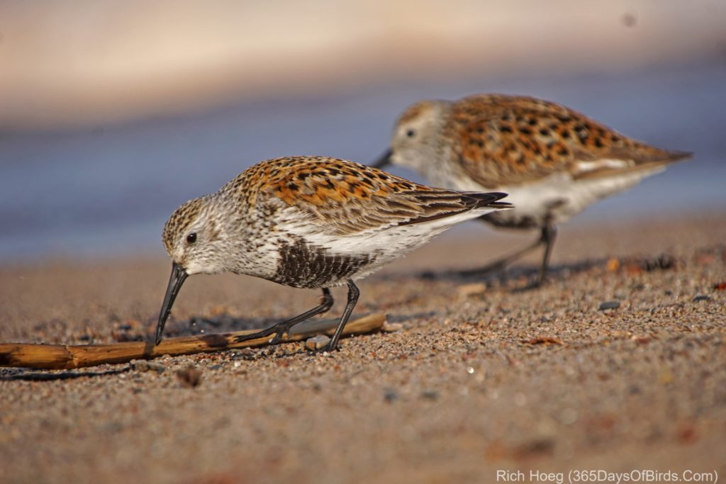
Sunset Birding on Minnesota Point … Ruddy Turnstones and Dunlins

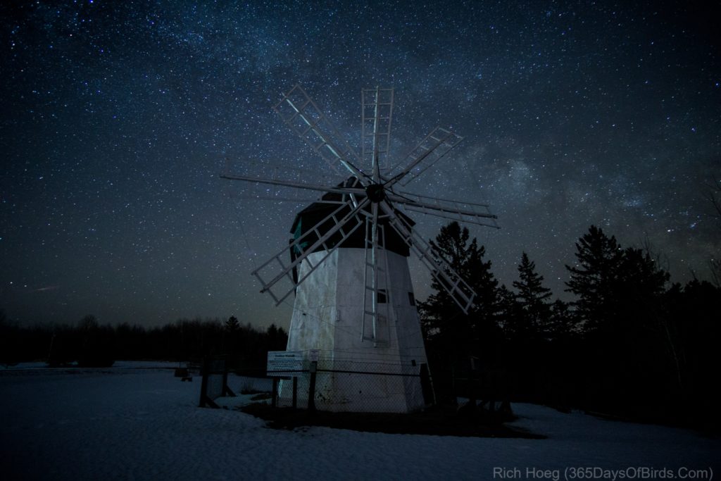
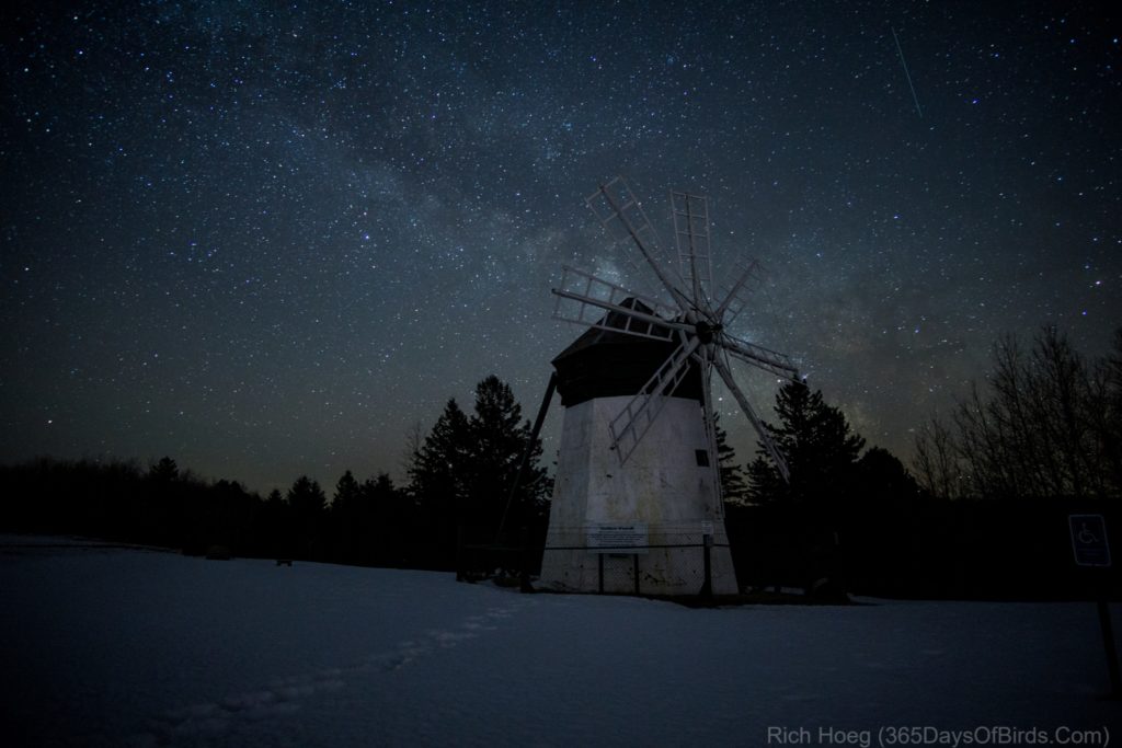
Davidson Windmill Milky Way

In honor of my 62nd birthday (today) I decided to get up at 3:50 am and be out the door shortly after 4:00 am! My goal was to take advantage of the Milky Way core finally being back above the horizon. Here in the Northland the core disappears from the night sky in October. In early Spring the Milky Way crosses the southeastern sky. Given research I knew that I had a short window of opportunity to photograph the Milky Way with the Davidson Windmill lined up properly. As one moves towards Summer, the Milky Way moves to the south and southwest, and becomes more vertical to the zenith across the sky.

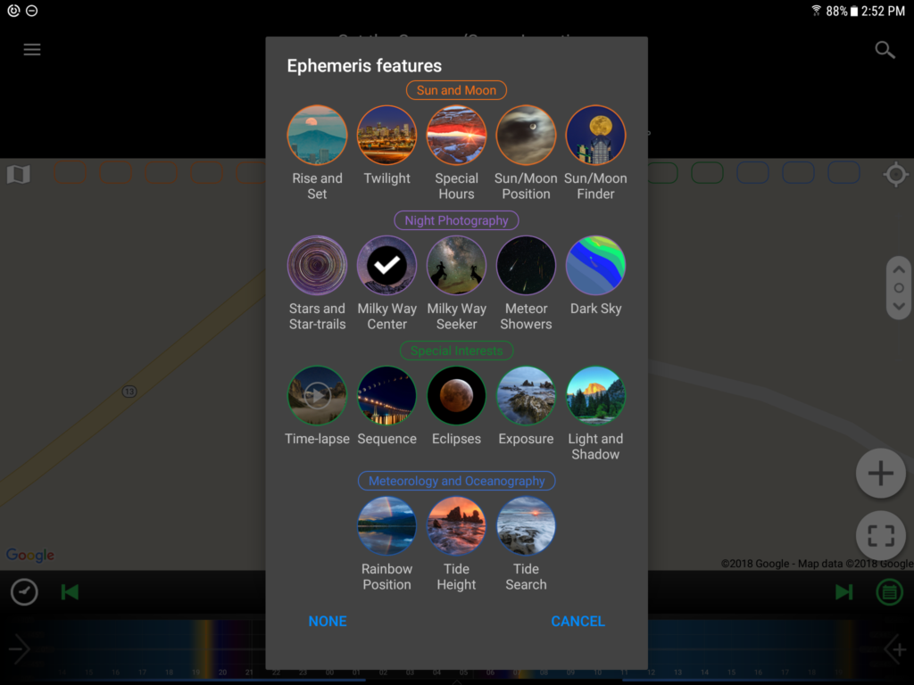
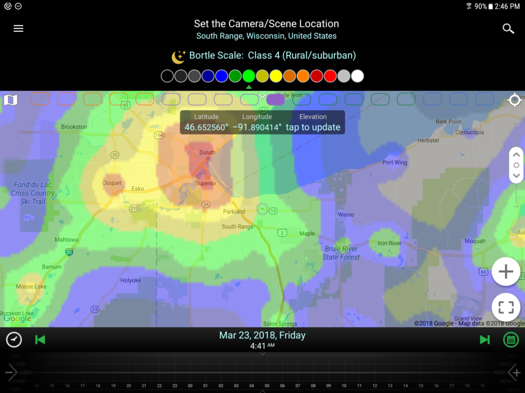
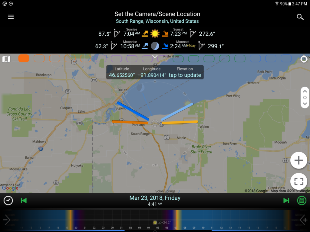
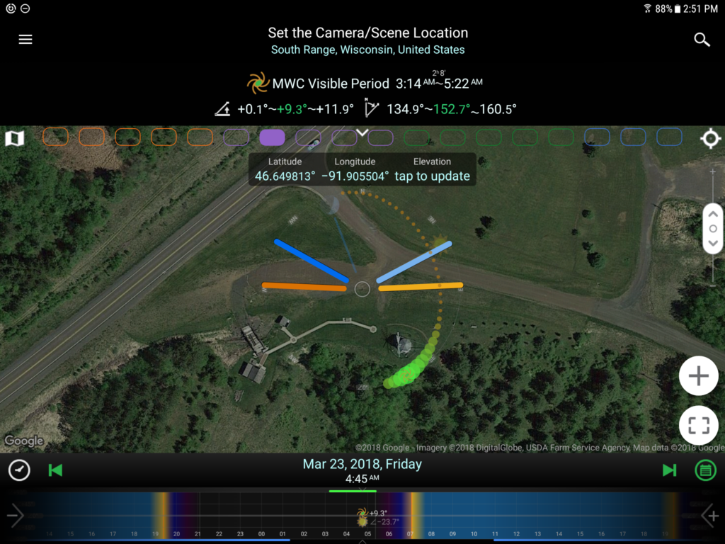
I determined all these facts by using PlanIt! for Photographers. This great little app, well worth the small amout of money I paid allows me to research and plan photographs in advance all over the world. In my case, this generally means the Lake Superior region, but it could be anywhere! I determined the sky would be dark without a moon with the Milky Way in the proper location relative to my vantage point and the windmill’s blades.

Here are my two images from this morning, followed by some screenshots I took within the app.

And my screenshots from my apps, which allowed me know the darkness of the night sky, the arc of the Milky Way, sunrise, moonrise and when true night darkness would end. The app allows me to move time forward or back in units as small as a few minutes.