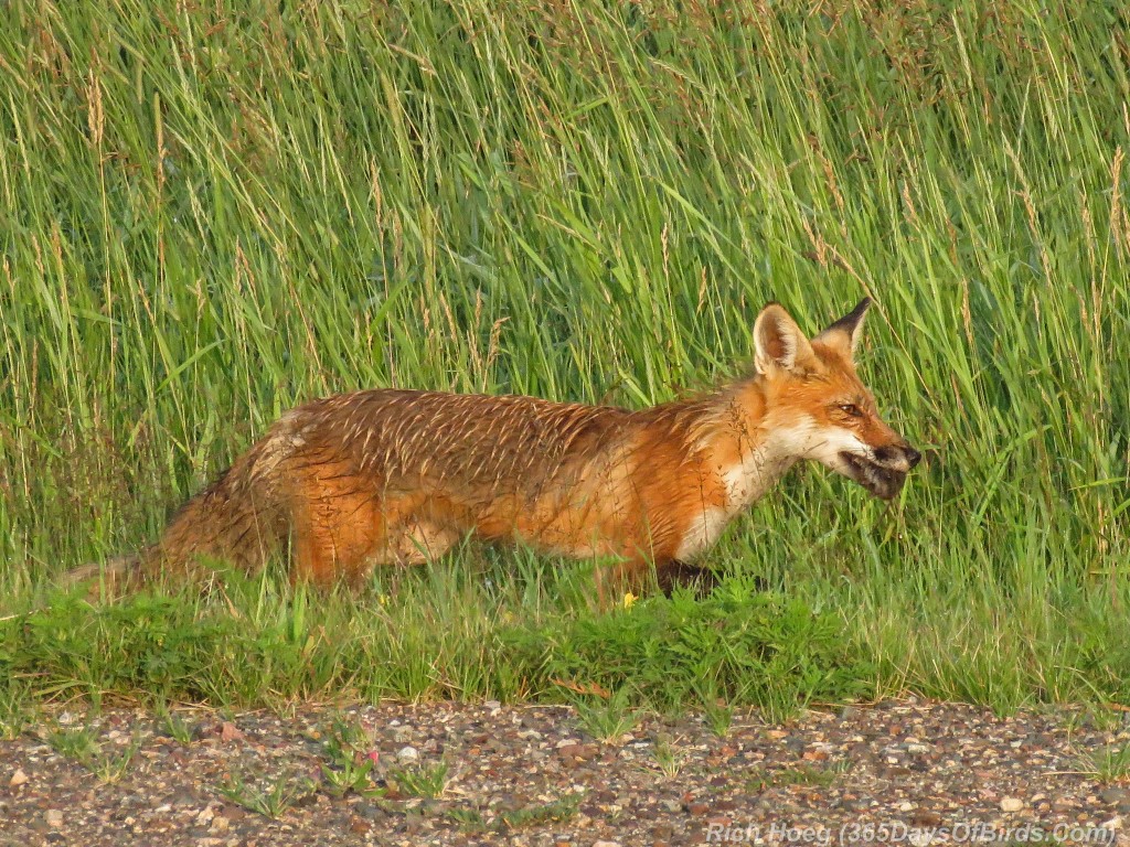
Over the past few days I have been exploring back roads in northern Minnesota somewhat near to Duluth. My goal is to be ready for the fall migration and winter birding. During these travels the sun disappeared shortly after dawn two days ago, and it has not made a reappearance. The red fox photo in this post was taken five minutes before the clouds rolled in.
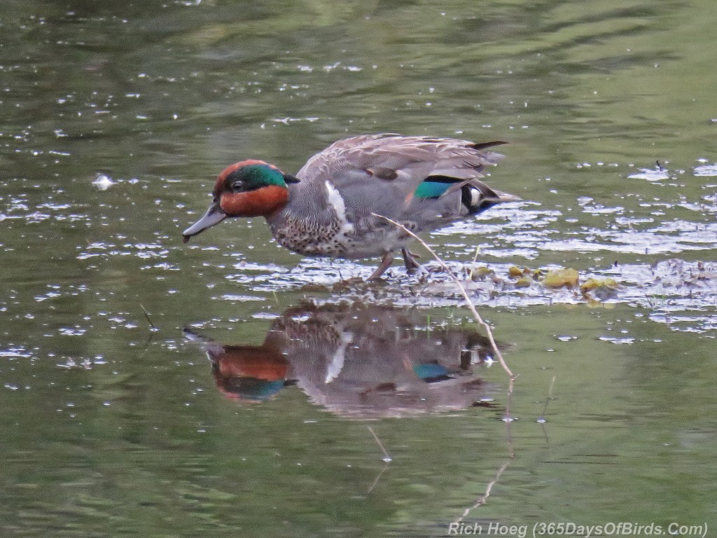
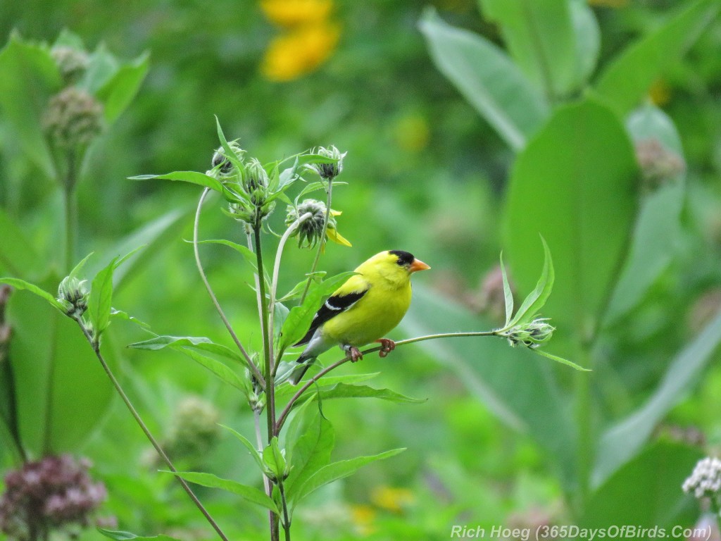
Today, I decided I need to find color to fight against the gloomy skies. Success! Some of my normal haunts yielded up photo ops of birds which stood still enough to let me deal with the long exposure times required. Now … if the sun would just reappear, I can’t wait to revisit the green-winged teal and my favorite wild flower location. Patience!
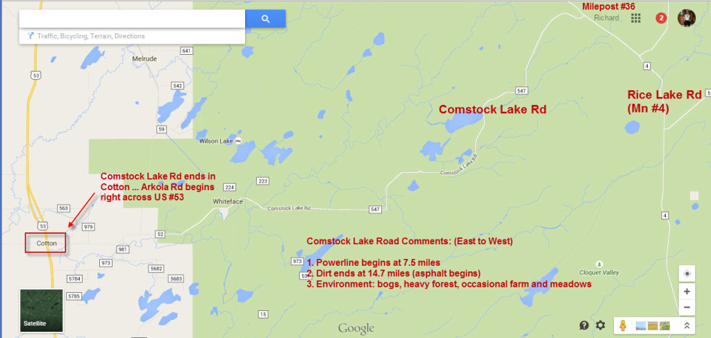
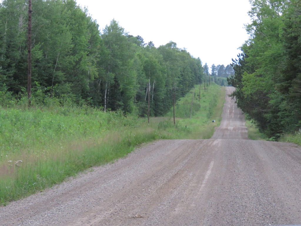
Finally, one of my explorations yielded a great new route to drive over to Sax-Zim Bog from Duluth. Just before the 36 mile marker on Mn #4 (Rice Lake Road) is the dirt road, Comstock Lake Road. The road is 21 miles long and ends right at Cotton, Minnesota on US #53 directly opposite Arkola Road … a favorite entry into Sax-Zim Bog. Comstock is excellent. From the 7.5 mile point, there is a power line which stretches all the way to Cotton (13.5 miles more of driving). The power line should be great for owling, and the countryside included bogs, heavy forest, and an occasional farm or meadow. This route required an extra 30 minutes to reach Cotton, but I was in beautiful surroundings in “bird friendly environment” my entire drive to Sax-Zim Bog (as opposed to a four lane highway, US #53). I’ve included a map and a photo of a typical scene of Comstock Road.
My own route to get to Comstock was Lester River Road (then a few local roads), Jean Duluth Road, Normanna Road, Rice Lake Road (Mn #4) and finally Comstock Road. This takes one right past the location on Jean Duluth Road I discovered Kelly J last December. Kelly J is a northern hawk owl that hung around till early March.
Last sun … Red Fox at Dawn
———-
Green-Winged Teal
———-
American Goldfinch
———-
Comstock Road Map & Typical Scene Along Powerline
