If you want to see some super images taken by great photographers, browse on over to the 2020 Minnesota State Parks and Trails Photo Contest Results. I took send place for NE Minnesota with this picture of the American Spirit steaming by Splitrock Lighthouse on the last day of the shipping season. It was just before sunrise and then temperature was -17F with a HUGE wind blowing out of the NNW. The strong winds is why the freighter was sailing along the North Shore (i.e. to avoid large waves further out in the lake which would cause dangerous ice buildup). It was cold, and I was very happy to get back in the car after taking my photos.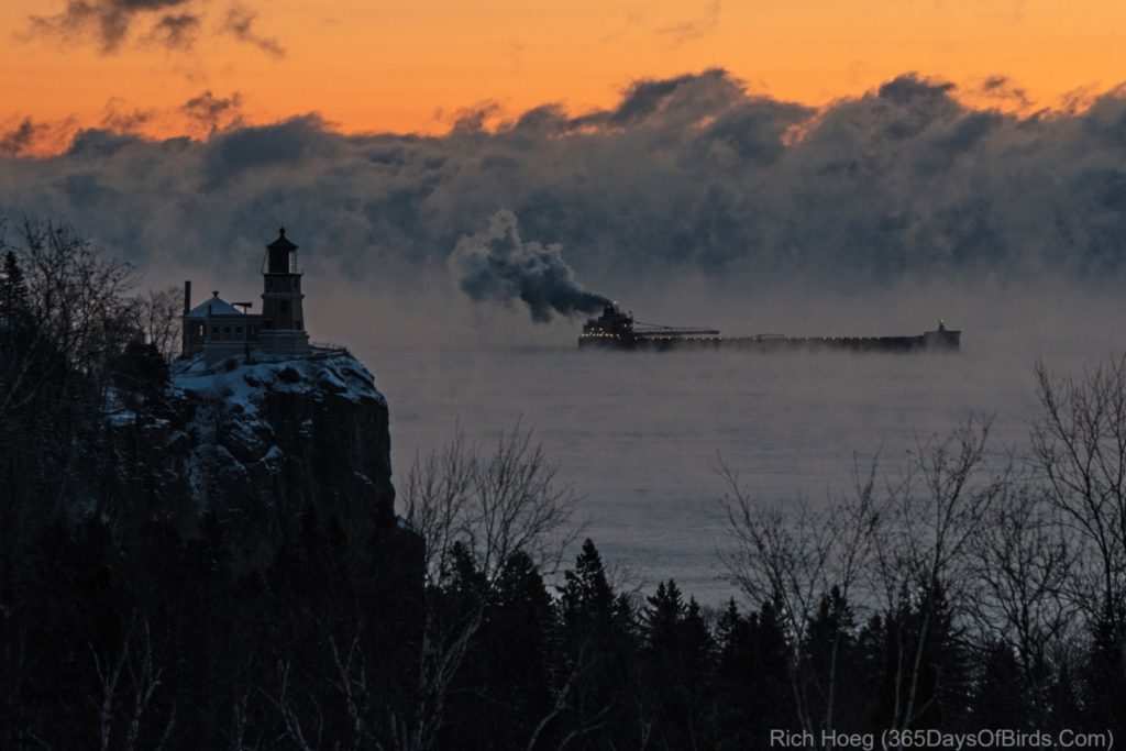
Tag Archives: MN North: Split Rock Lighthouse
Splitrock Lighthouse Shipping Season Finale Sea Smoke!
It was -18F at 7 am this morning, which was 45 minutes before sunrise. The windchill was -35F. Most people might think it would be a good morning to sit by a warm fire, but that would be wrong! Instead, I left my house at 6:15 to arrive at the Splitrock Lighthouse overlook long before sunup.
Why? Last night I knew some magical conditions might come together in the glorious pre-dawn light:
- Clear Skies
- Sea Smoke (formed when temperatures drop well below zero)
- Freighters sailing down to the North Shore to avoid ice buildup given NW winds
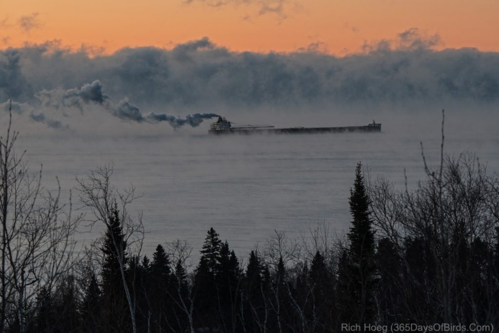
Here are two photographs of the American Spirit Ore Boat which was Duluth bound for winter layup. In fact, today is the last day of this year’s shipping season. The Sault Locks close today and shipping on Lake Superior ends till spring.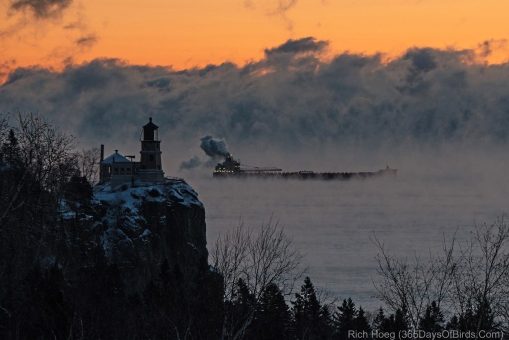

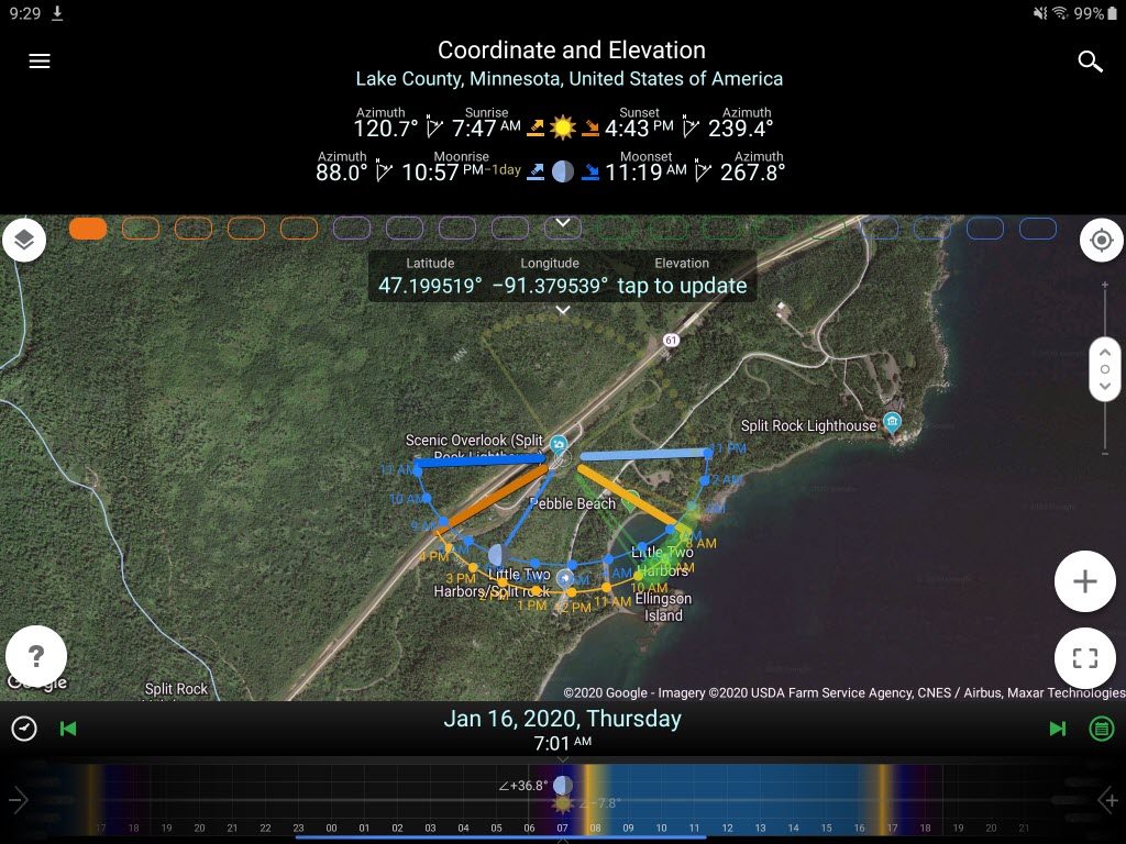
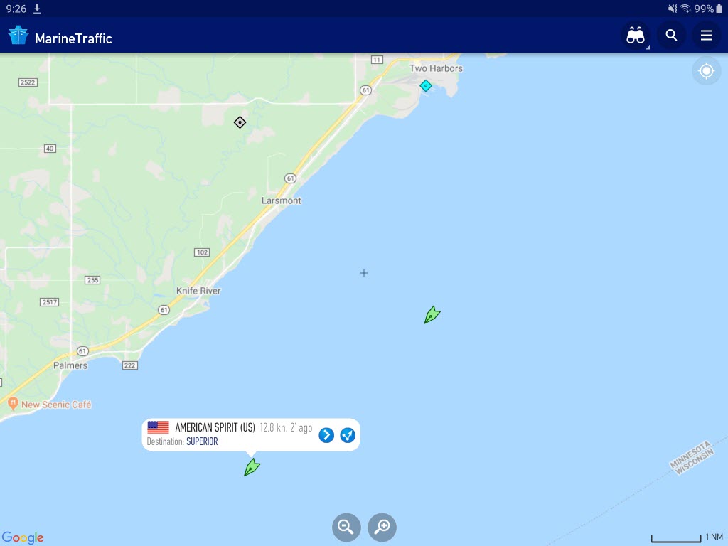
This begs the question, how did I know it would be worth the drive to go up the shore? Research! Last night I checked both the Duluth Ship Tracking web site, then my Marine Traffic Tracking App, and finally my photography app (PlanIt Pro) for the sun angle. I needed to answer these questions:
- Were there still ships on Lake Superior? (yes).
- When is arrival in Duluth / Superior expected and would that put the ships somewhere I could capture a pre-dawn light image? (yes)
- Given the weather conditions, were the two ships avoiding the direct route via the South Shore and taking the longer North Shore route to Duluth and therebye escaping the NW wind and potential ice buildup? (yes)
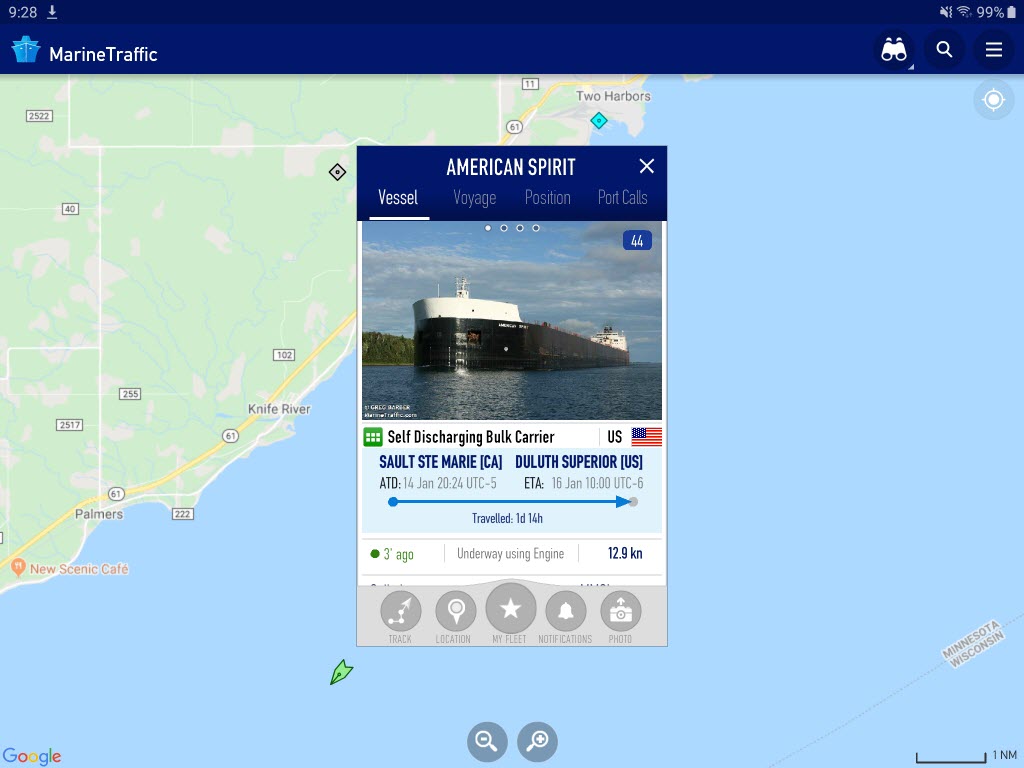
When I got out of bed shortly before 6 am, I once again checked the Marine App and was pleased to see both the American Spirit and Burns Harbor were somewhat off the coast of Lutsen on the North Shore. Next I checked the details for the American Spirit to determine its speed. Given the ships speed and distance remaining to Splitrock, I felt a drive up the shore had decent chance of success. The American Spirit should sail by Splitrock Lighthouse in the pre-dawn light in the midst of Sea Smoke. This was NOT a lucky shot; the photograph was well planned.
Here are some screenshots which give you an idea of my research.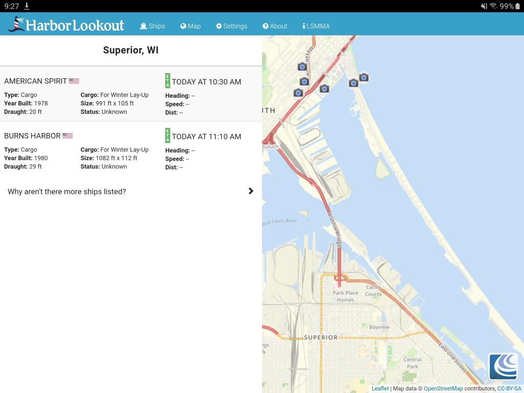
Finally, the Burns Harbor was only ten miles behind the American Spirit. It eventually sailed into view and yielded a nice photograph.